The Landsat satellite record stretches from 1972 to the present. This gallery includes all Landsat images published on the Earth Observatory, Visible Earth, and Landsat Science web sites from all seven Landsat satellites (Landsats 1-8, Landsat 6 failed to achieve orbit). All of the images are in the public domain and may be used with attribution. The correct attribution for imagery obtained from this site is:
“Landsat imagery courtesy of NASA Goddard Space Flight Center and U.S. Geological Survey” or “USGS/NASA Landsat”
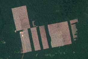
Landsat 8 Detects New Deforestation in Peru Read more
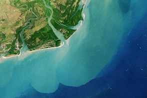
Flood Waters on the Irrawaddy Read more
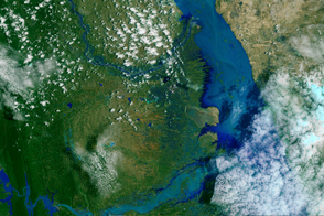
Zambezi River Delta Read more
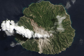
Deadly Pyroclastic Flow at Paluweh Volcano Read more

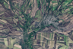
A Polish Royal Forest Read more
Fall Harvest in Kazakhstan Read more
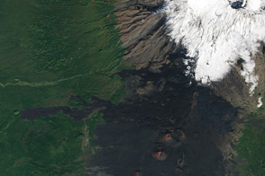
Activity Slows at Tolbachik Read more
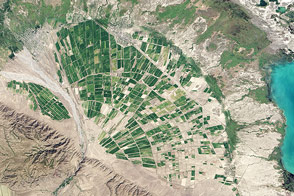
Alluvial Fan in Kazakhstan Read more
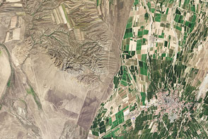
Where China and Kazakhstan Meet Read more