The Landsat satellite record stretches from 1972 to the present. This gallery includes all Landsat images published on the Earth Observatory, Visible Earth, and Landsat Science web sites from all seven Landsat satellites (Landsats 1-8, Landsat 6 failed to achieve orbit). All of the images are in the public domain and may be used with attribution. The correct attribution for imagery obtained from this site is:
“Landsat imagery courtesy of NASA Goddard Space Flight Center and U.S. Geological Survey” or “USGS/NASA Landsat”
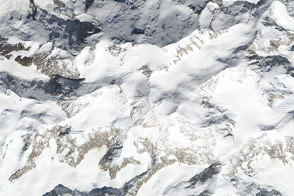
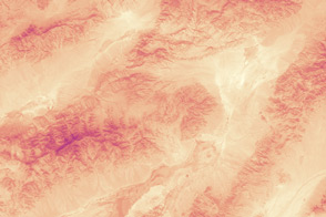
Same Mountain, Different Measurements Read more

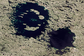
Greenland’s Summer Melt Underway Read more
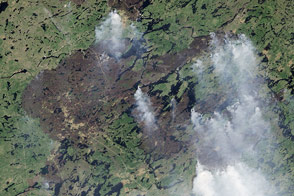
Fires in Quebec Read more
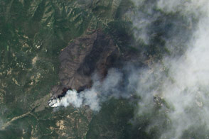
Jaroso Fire, New Mexico Read more
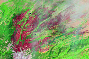
East Peak Fire Burn Scar, Colorado Read more
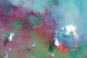
Fires and Farms in Indonesia Read more
A One-Two Punch Read more
Death Valley Claims A Heat Title Again Read more
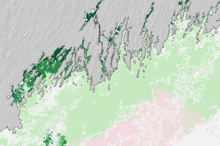
Oyster Prospecting With Landsat 8 Read more