The Landsat satellite record stretches from 1972 to the present. This gallery includes all Landsat images published on the Earth Observatory, Visible Earth, and Landsat Science web sites from all seven Landsat satellites (Landsats 1-8, Landsat 6 failed to achieve orbit). All of the images are in the public domain and may be used with attribution. The correct attribution for imagery obtained from this site is:
“Landsat imagery courtesy of NASA Goddard Space Flight Center and U.S. Geological Survey” or “USGS/NASA Landsat”
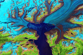
Retreat of the Columbia Glacier Read more
Growth of Nishino-shima Volcanic Island Read more
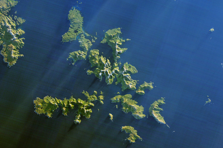
Cape Horn: A Mariner’s Nightmare Read more
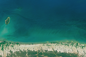
Dying Mangroves on the Australian Coast Read more
The Island Named After a Satellite Read more

Lake Mead Still Shrinking Read more

Curiosities of the Danakil Depression Read more
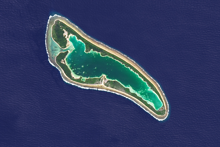
Nikumaroro Atoll Read more

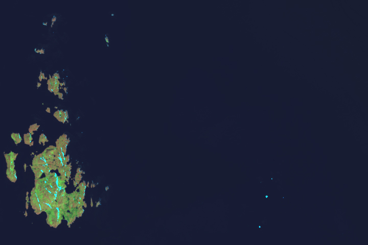
Shining a G-LiHT on an Alaskan Forest Read more