acquired May 5, 2000
Great Slave Lake
Downloads
- Great_Slave_Lake.tif (10000x9975, TIFF)
Metadata
- Sensor(s):
- Landsat 5 - TM
- Data Date: May 5, 2000
- Visualization Date: July 14, 2010
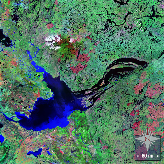
In this image vegetation is green, clouds are white, burn scars are red, and water is black and blue.
This Landsat mosaic image was acquired in the year 2000. It is a false-colored image using bands 7, 4 and 2. The Great Slave Lake falls on Landsat WRS-2 Path 46 Row 17.
NASA GSFC Landsat/LDCM EPO Team