The Landsat satellite record stretches from 1972 to the present. This gallery includes all Landsat images published on the Earth Observatory, Visible Earth, and Landsat Science web sites from all seven Landsat satellites (Landsats 1-8, Landsat 6 failed to achieve orbit). All of the images are in the public domain and may be used with attribution. The correct attribution for imagery obtained from this site is:
“Landsat imagery courtesy of NASA Goddard Space Flight Center and U.S. Geological Survey” or “USGS/NASA Landsat”
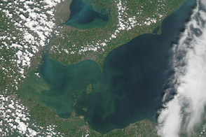
Algae Bloom on Lake Erie Read more
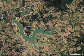
Drought Shrinking São Paulo Reservoirs Read more
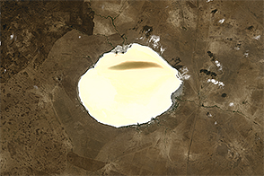
Brightening Lake Elton Read more
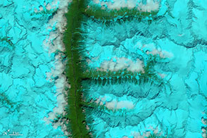
The Alphabet from Orbit: Letter F Read more
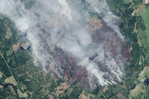
Wildfire in Sweden Read more

The Alphabet from Orbit: Letter B Read more
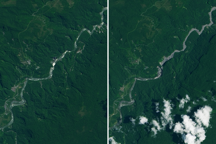
The Disappearance of Ecuador’s Tallest Waterfall Read more
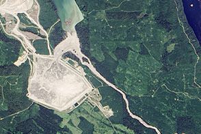
Dam Breach at Mount Polley Mine in British Columbia Read more
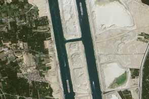
The New Suez Canal Read more