The Landsat satellite record stretches from 1972 to the present. This gallery includes all Landsat images published on the Earth Observatory, Visible Earth, and Landsat Science web sites from all seven Landsat satellites (Landsats 1-8, Landsat 6 failed to achieve orbit). All of the images are in the public domain and may be used with attribution. The correct attribution for imagery obtained from this site is:
“Landsat imagery courtesy of NASA Goddard Space Flight Center and U.S. Geological Survey” or “USGS/NASA Landsat”
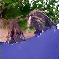
Pu’u O’o Eruption, Hawai’i Read more
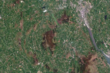
Ring of Gullion, Northern Ireland Read more
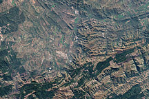
Barberton Mountains, South Africa Read more
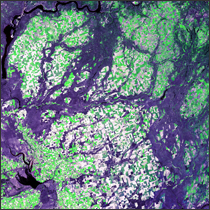
Lake Missoula Read more

Lake Manicouagan Read more
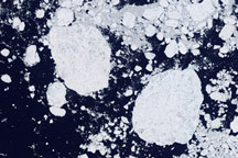
Detailed View of Arctic Sea Ice Read more
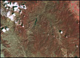
Rocky Mountain Fires Read more
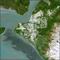
Anchorage, Alaska Read more

Map of Paved Surfaces Read more