The Landsat satellite record stretches from 1972 to the present. This gallery includes all Landsat images published on the Earth Observatory, Visible Earth, and Landsat Science web sites from all seven Landsat satellites (Landsats 1-8, Landsat 6 failed to achieve orbit). All of the images are in the public domain and may be used with attribution. The correct attribution for imagery obtained from this site is:
“Landsat imagery courtesy of NASA Goddard Space Flight Center and U.S. Geological Survey” or “USGS/NASA Landsat”
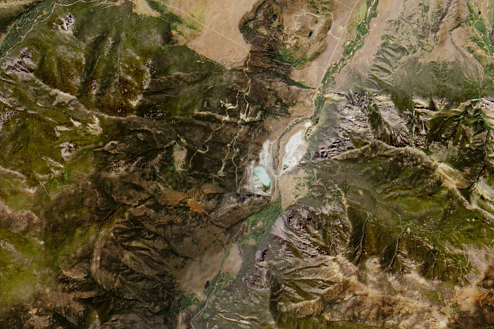
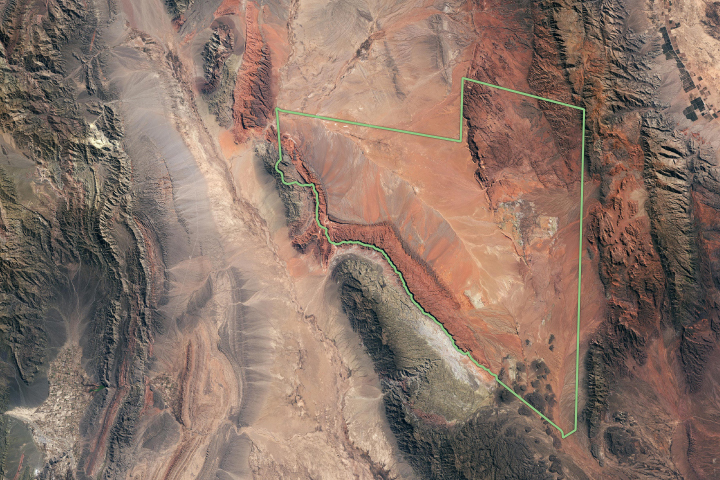
Montana’s Moon-Like Rocks Read more
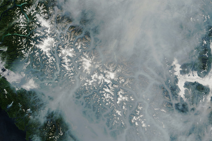
Smoke Blankets British Columbia Read more
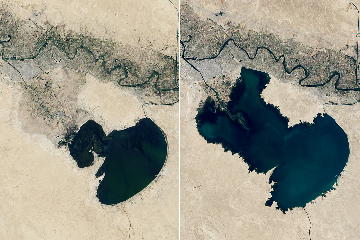
Iraq Lakes Bounce Back Read more
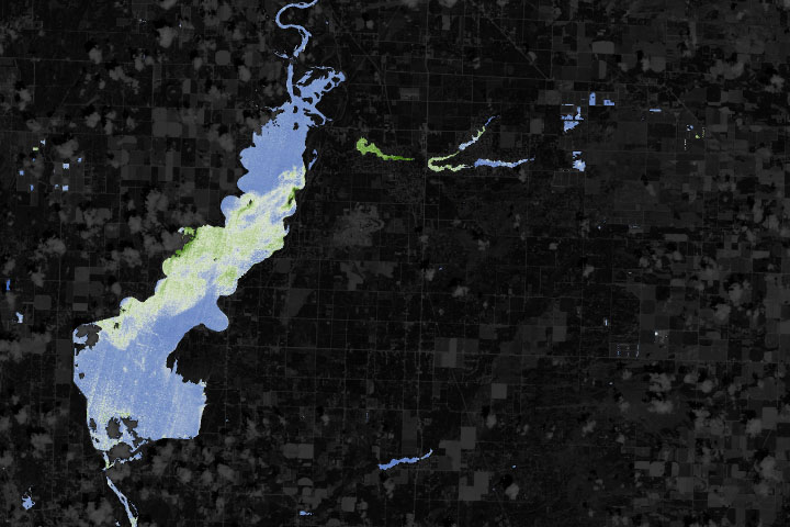
NASA Helps Warn of Harmful Algae in Lakes, Reservoirs Read more
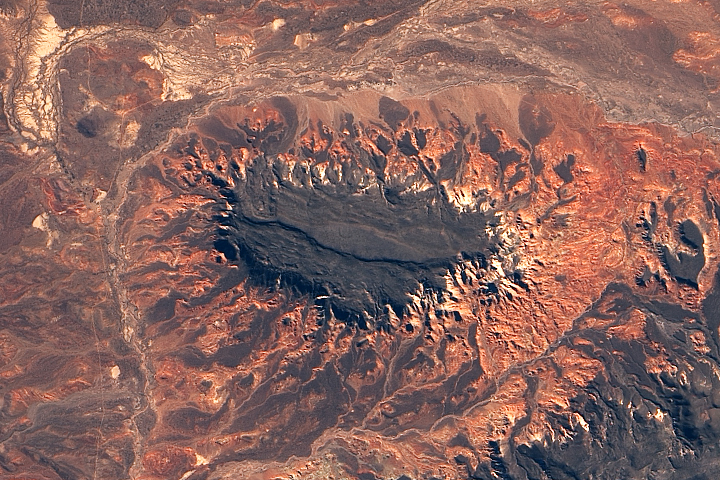
Volcanic Plateaus in Argentina Read more
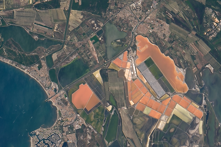
Salin Aigues-Mortes Read more
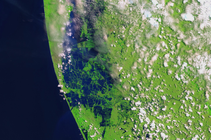
Before and After the Kerala Floods Read more
Time Traveling to the Triassic Read more
The Scars of Mendocino Read more