The Landsat satellite record stretches from 1972 to the present. This gallery includes all Landsat images published on the Earth Observatory, Visible Earth, and Landsat Science web sites from all seven Landsat satellites (Landsats 1-8, Landsat 6 failed to achieve orbit). All of the images are in the public domain and may be used with attribution. The correct attribution for imagery obtained from this site is:
“Landsat imagery courtesy of NASA Goddard Space Flight Center and U.S. Geological Survey” or “USGS/NASA Landsat”

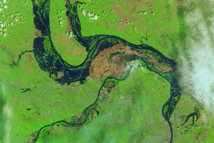
The Meandering Estuaries of Guinea–Bissau Read more
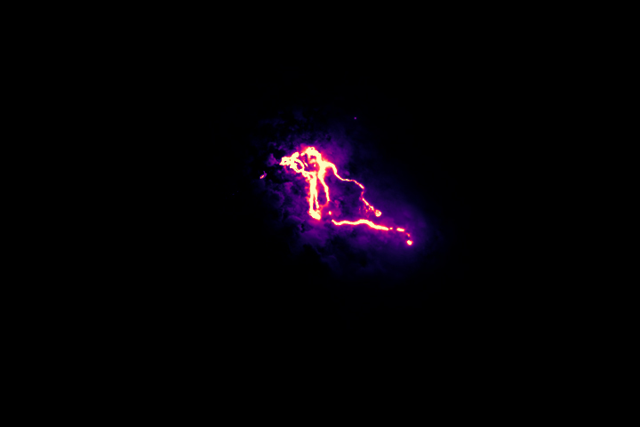
The Infrared Glow of Kilauea’s Lava Flows Read more
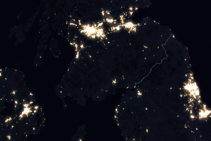
Galloway Forest Park Read more
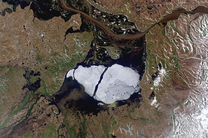
Going, Going, Gone: Summer Clears Ice from Krasnoye Lake Read more
The Abyss of Time Read more
Flooding Continues Along the Mississippi Read more
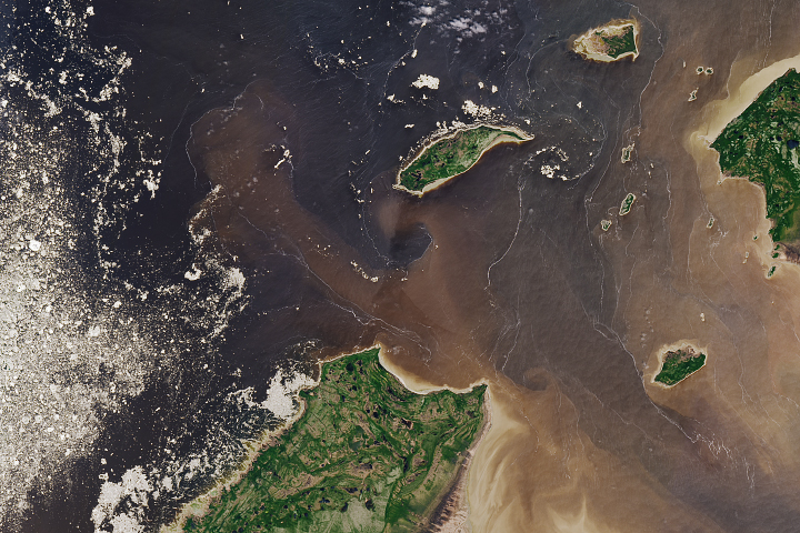
Filaments and Color in Rupert Bay Read more
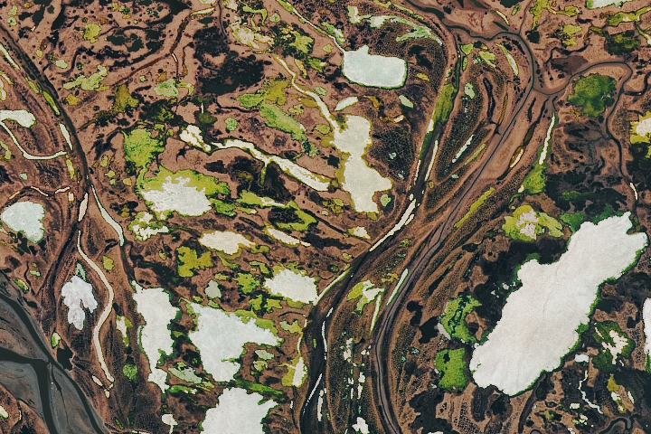
In a River Delta Far, Far Away Read more

Churning in the Chukchi Sea Read more