The Landsat satellite record stretches from 1972 to the present. This gallery includes all Landsat images published on the Earth Observatory, Visible Earth, and Landsat Science web sites from all seven Landsat satellites (Landsats 1-8, Landsat 6 failed to achieve orbit). All of the images are in the public domain and may be used with attribution. The correct attribution for imagery obtained from this site is:
“Landsat imagery courtesy of NASA Goddard Space Flight Center and U.S. Geological Survey” or “USGS/NASA Landsat”
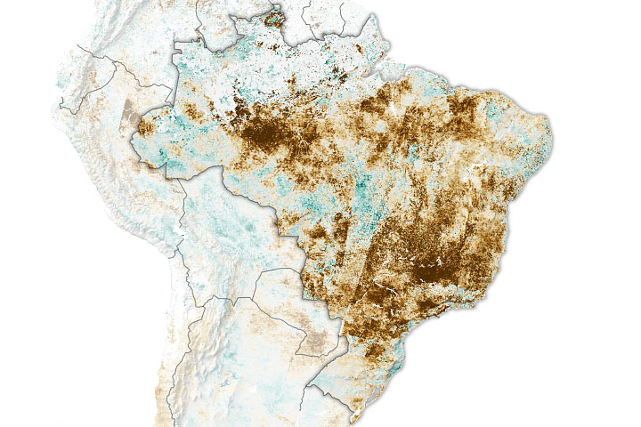
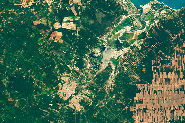
Brazil Battered by Drought Read more
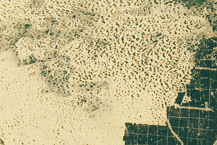
Oleshky Sands Read more
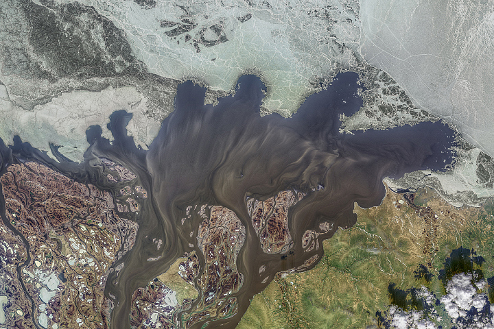
Kolyma’s Annual Purge Read more
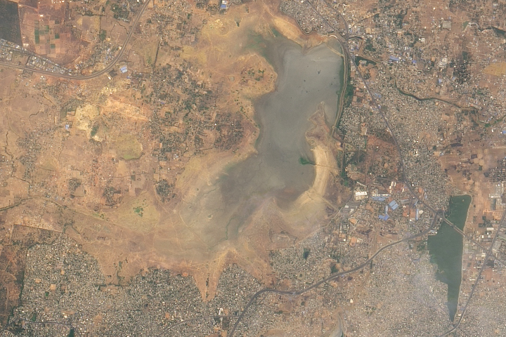
Water Shortages in India Read more
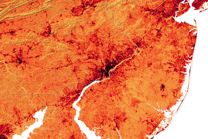
The Inequitable Distribution of Urban Trees Read more
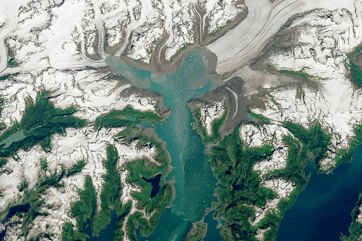
Nearing the Limit of Retreat Read more
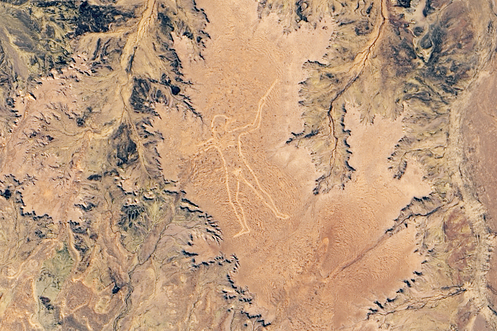
Marree Man Read more
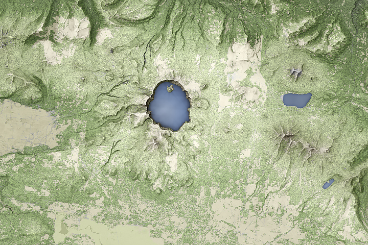
The Ups and Downs of Crater Lake Read more
Salt, Oil, and Fruit from Mossoró Read more