The Landsat satellite record stretches from 1972 to the present. This gallery includes all Landsat images published on the Earth Observatory, Visible Earth, and Landsat Science web sites from all seven Landsat satellites (Landsats 1-8, Landsat 6 failed to achieve orbit). All of the images are in the public domain and may be used with attribution. The correct attribution for imagery obtained from this site is:
“Landsat imagery courtesy of NASA Goddard Space Flight Center and U.S. Geological Survey” or “USGS/NASA Landsat”
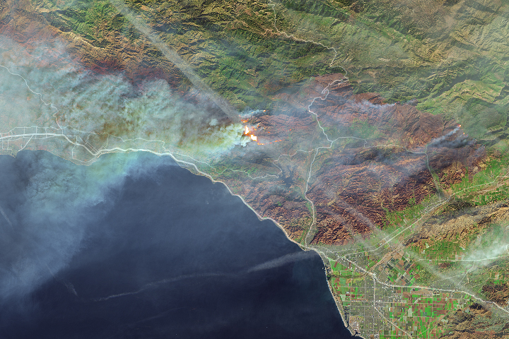
Fires Continue to Rage in Southern California Read more
Living the Mars Life on Mauna Loa Read more
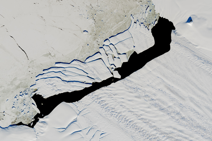
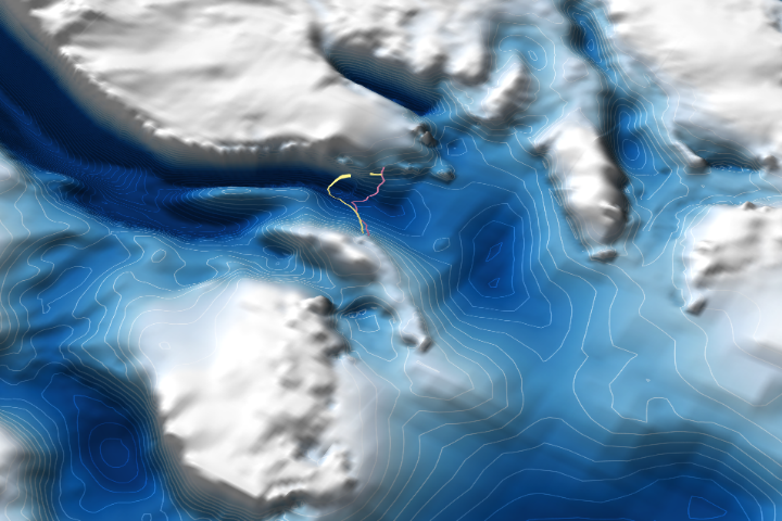
Pine Island Iceberg Under the Midnight Sun Read more

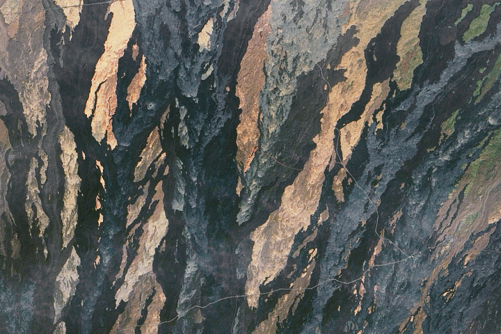
California’s December Inferno Read more
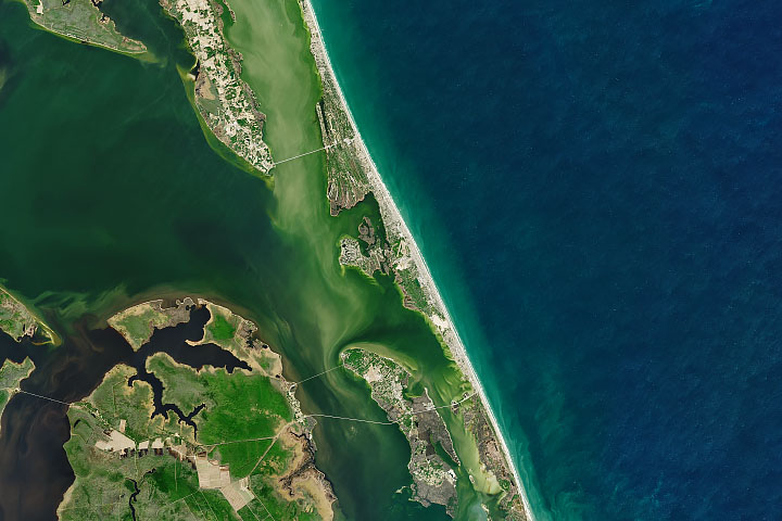
Kitty Hawk and Kill Devil Hills Read more
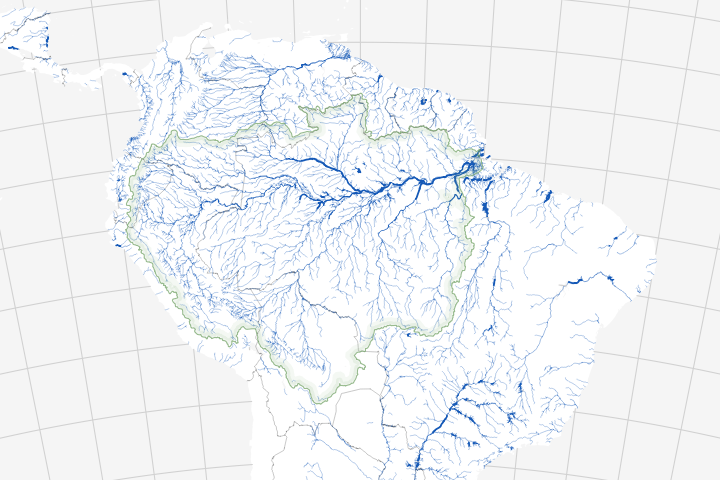
Fizzy Tropical Rivers Read more
Denman Glacier Losing Some of Its Footing Read more
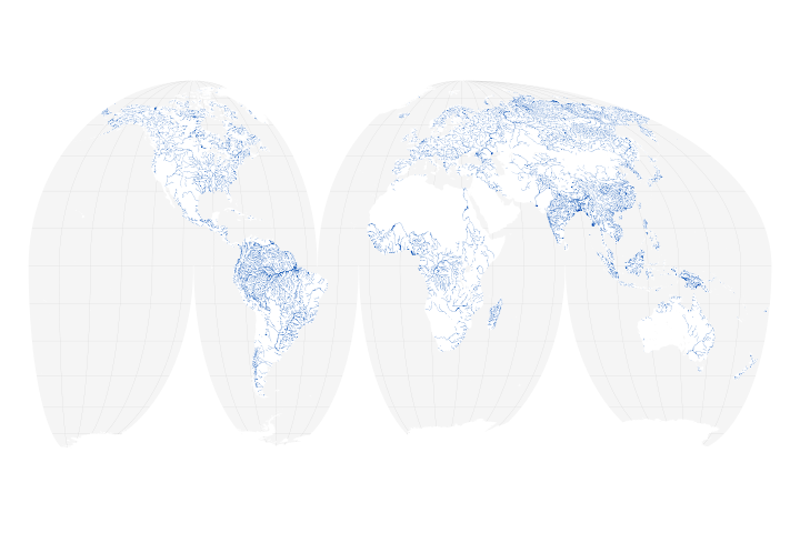
The Water is Wider Read more
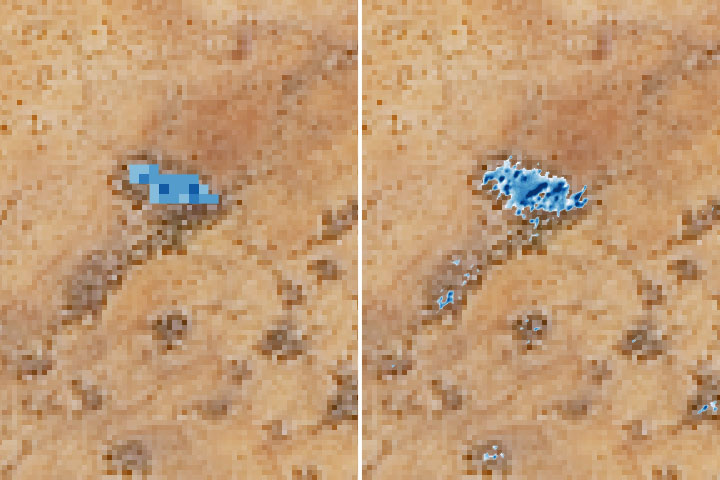
Scouting Watering Holes from Space Read more