The Landsat satellite record stretches from 1972 to the present. This gallery includes all Landsat images published on the Earth Observatory, Visible Earth, and Landsat Science web sites from all seven Landsat satellites (Landsats 1-8, Landsat 6 failed to achieve orbit). All of the images are in the public domain and may be used with attribution. The correct attribution for imagery obtained from this site is:
“Landsat imagery courtesy of NASA Goddard Space Flight Center and U.S. Geological Survey” or “USGS/NASA Landsat”
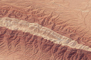
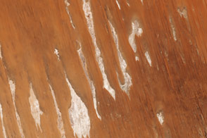
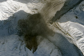
Kuh-e-Gugerd Read more
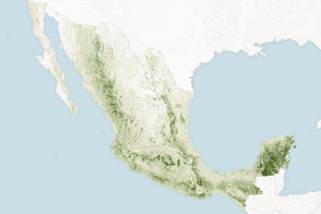
Counting the Carbon in Mexico’s Forests Read more
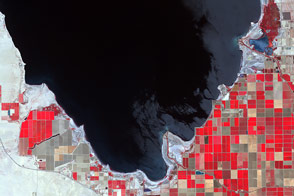
Shrinking Shoreline of the Salton Sea Read more
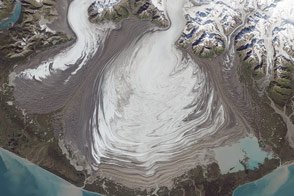
Malaspina Glacier, Alaska Read more
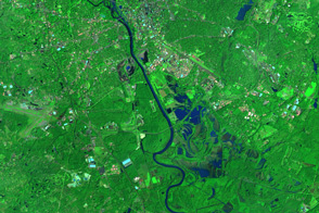
Flooding Near Columbia, South Carolina Read more
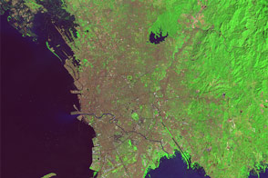
The Growth of Manila Read more
Poeppel Corner, Australia Read more
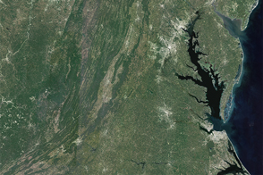
The Chesapeake Watershed Read more
Landslide onto Steele Glacier Read more