The Landsat satellite record stretches from 1972 to the present. This gallery includes all Landsat images published on the Earth Observatory, Visible Earth, and Landsat Science web sites from all seven Landsat satellites (Landsats 1-8, Landsat 6 failed to achieve orbit). All of the images are in the public domain and may be used with attribution. The correct attribution for imagery obtained from this site is:
“Landsat imagery courtesy of NASA Goddard Space Flight Center and U.S. Geological Survey” or “USGS/NASA Landsat”
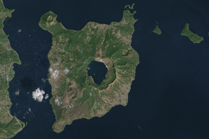
Volcano Island of Taal Read more
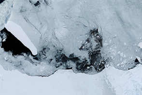
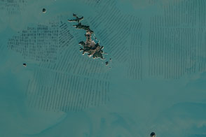
Iceberg B-15T Still Adrift Read more
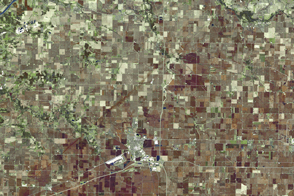
Tornado Track in Northern Illinois Read more
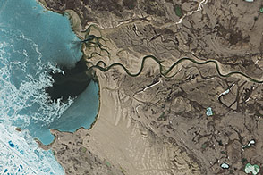
Wollaston Peninsula, Victoria Island Read more

A Lot of Data, A Lot of Possibilities Read more
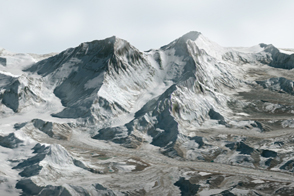
Return to Everest Read more
Seaweed Farms in South Korea Read more
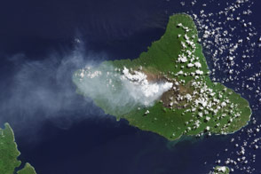
Plume from Ambrym Volcano Read more
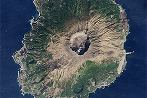
Return to Miyakejima Read more