The Landsat satellite record stretches from 1972 to the present. This gallery includes all Landsat images published on the Earth Observatory, Visible Earth, and Landsat Science web sites from all seven Landsat satellites (Landsats 1-8, Landsat 6 failed to achieve orbit). All of the images are in the public domain and may be used with attribution. The correct attribution for imagery obtained from this site is:
“Landsat imagery courtesy of NASA Goddard Space Flight Center and U.S. Geological Survey” or “USGS/NASA Landsat”
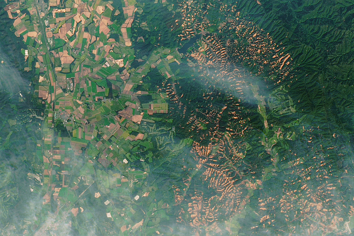
Landslides in Hokkaido Read more
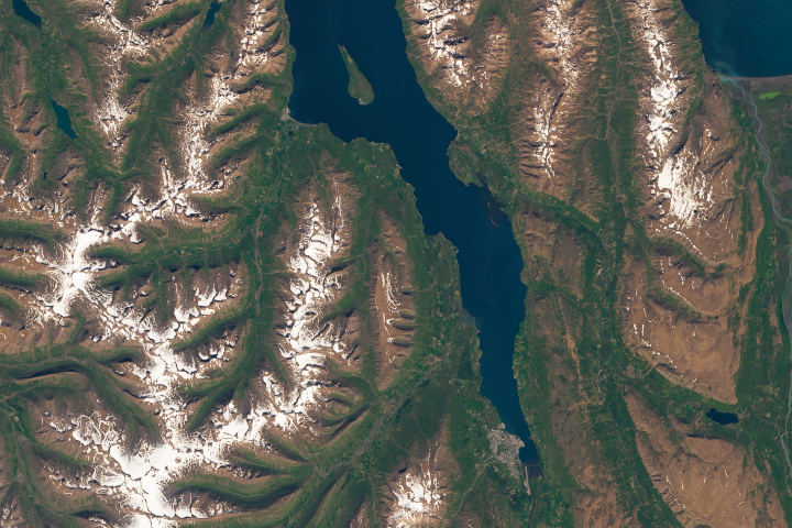
Iceland’s Longest Fjord Read more
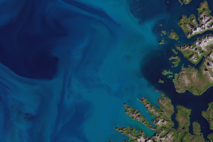
Blooming Norwegian Sea Read more
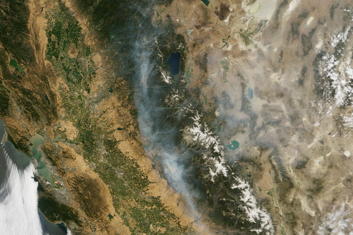
Detwiler Fire Read more
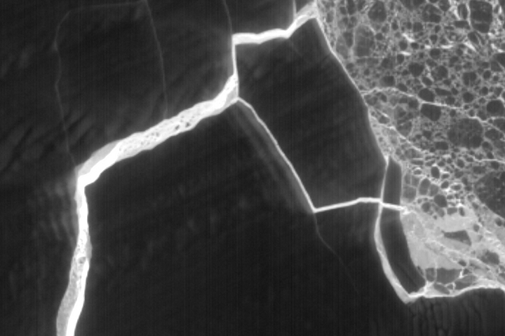
A Fracturing Berg in the Polar Night Read more
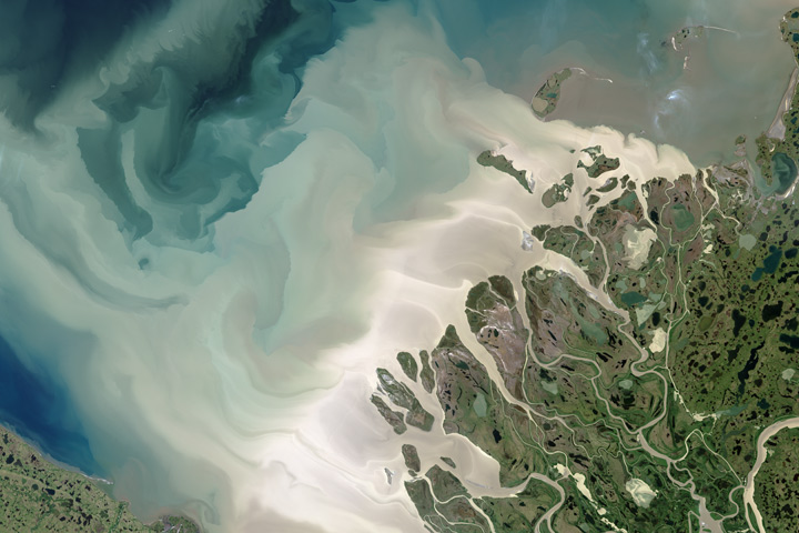
Mackenzie Meets Beaufort Read more
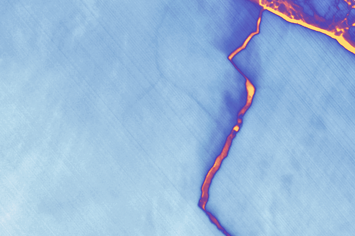
Landsat Spots Birth of Iceberg A-68 Read more
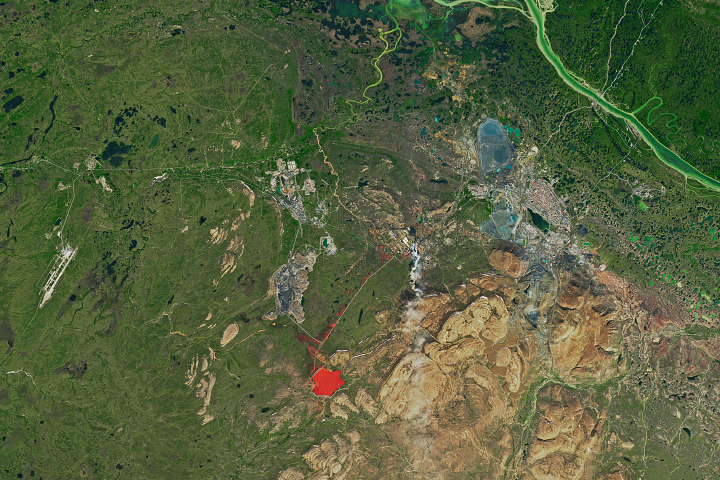
A Manmade Volcano over Norilsk Read more
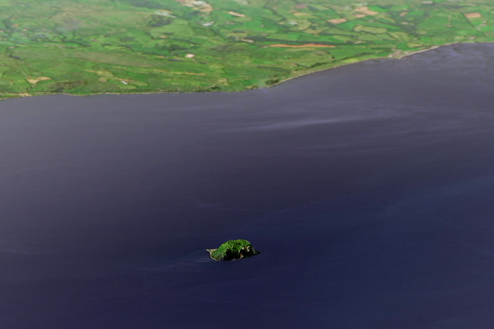
Ailsa Craig Read more