The Landsat satellite record stretches from 1972 to the present. This gallery includes all Landsat images published on the Earth Observatory, Visible Earth, and Landsat Science web sites from all seven Landsat satellites (Landsats 1-8, Landsat 6 failed to achieve orbit). All of the images are in the public domain and may be used with attribution. The correct attribution for imagery obtained from this site is:
“Landsat imagery courtesy of NASA Goddard Space Flight Center and U.S. Geological Survey” or “USGS/NASA Landsat”
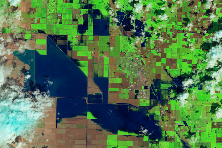
Return of Tulare Lake Read more
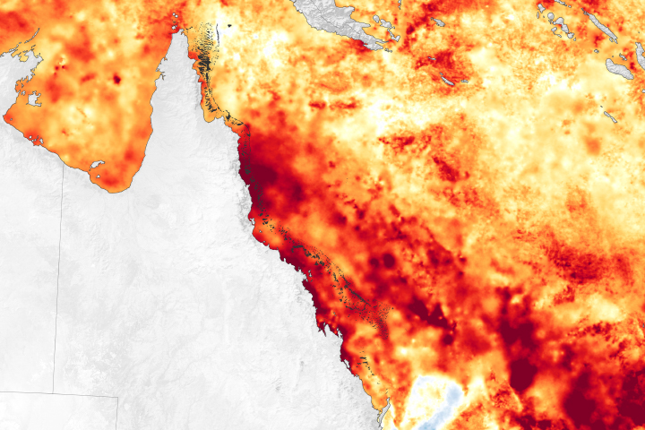
Great Barrier Reef Mass Bleaching Event Read more
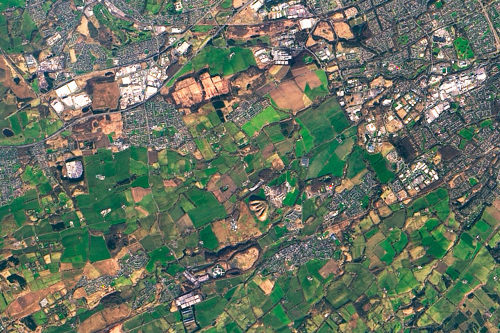
West Lothian Shale Bings Read more
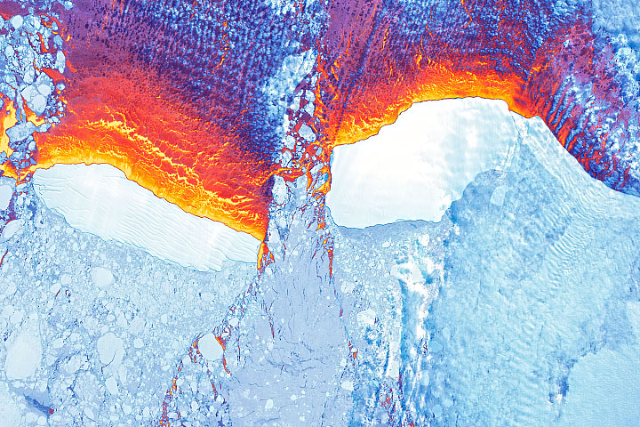
March of the Icebergs Read more
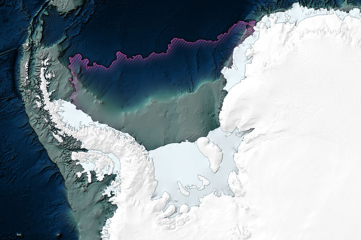
Enduring Antarctic Sea Ice Read more
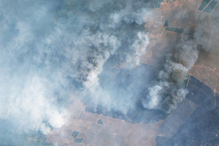
Wildfires Ravage Corrientes, Argentina Read more
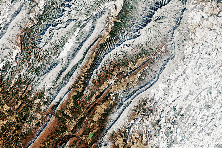
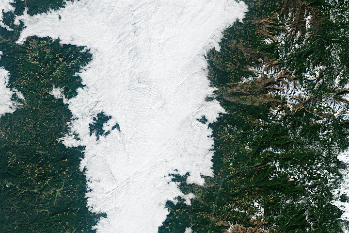
Winter in the Appalachians Read more
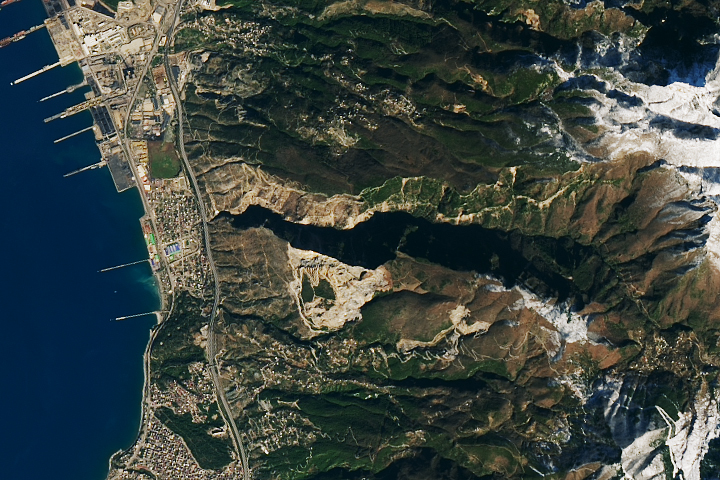
Landslides in Türkiye Read more
Fog Down in the Valley Read more