The Landsat satellite record stretches from 1972 to the present. This gallery includes all Landsat images published on the Earth Observatory, Visible Earth, and Landsat Science web sites from all seven Landsat satellites (Landsats 1-8, Landsat 6 failed to achieve orbit). All of the images are in the public domain and may be used with attribution. The correct attribution for imagery obtained from this site is:
“Landsat imagery courtesy of NASA Goddard Space Flight Center and U.S. Geological Survey” or “USGS/NASA Landsat”
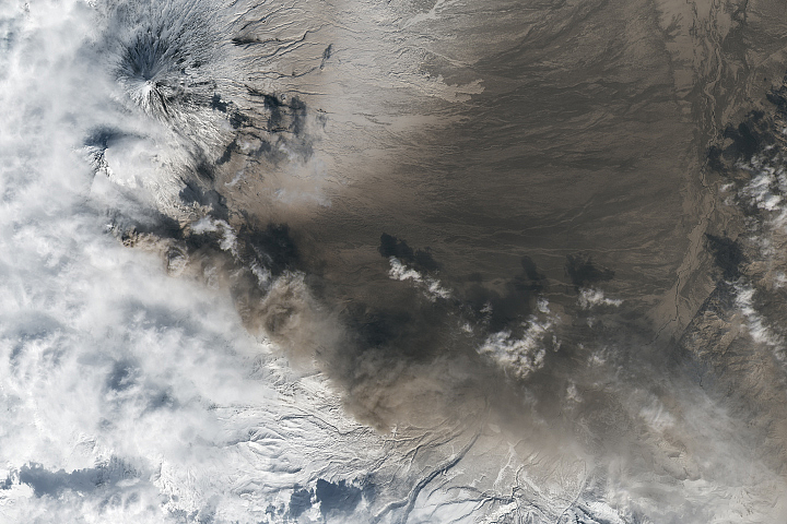
Kamchatka Erupts Read more
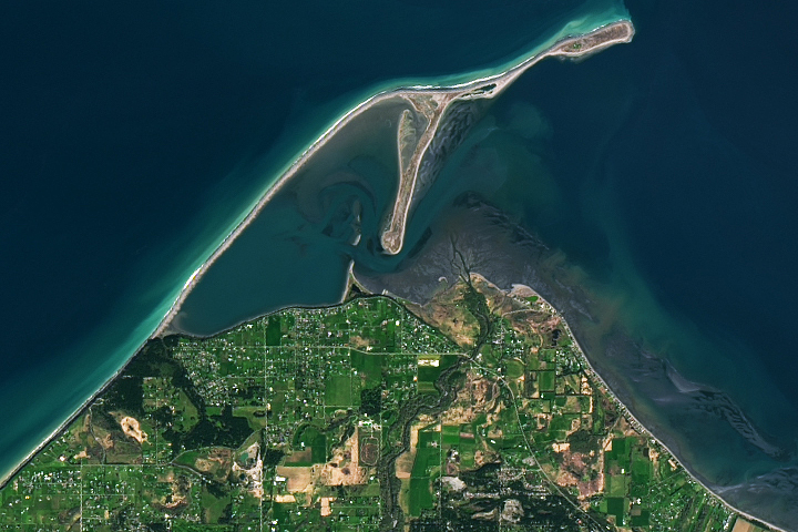
Dungeness Spit Read more
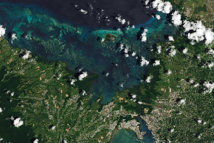
Guadeloupe, Lesser Antilles Read more
Flooding in Eastern Australia Read more
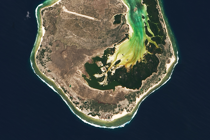
Europa Island Read more
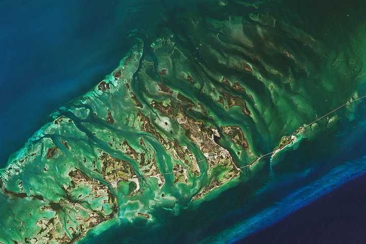
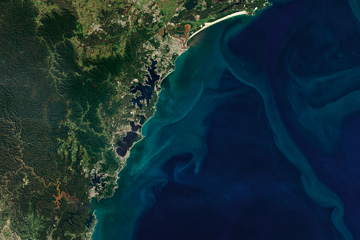
The Changing Seas of the Florida Keys Read more
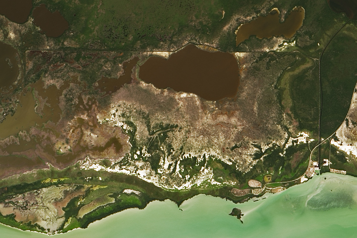
Measuring Methane in the Everglades Read more
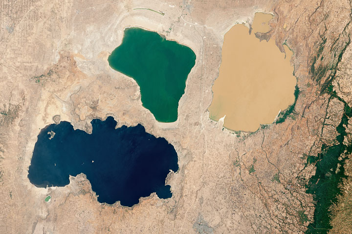
A Trio of Ethiopian Lakes Read more
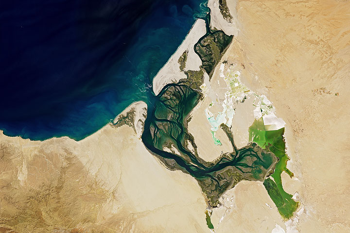
A Salty Sanctuary in Baja California Sur Read more