The Landsat satellite record stretches from 1972 to the present. This gallery includes all Landsat images published on the Earth Observatory, Visible Earth, and Landsat Science web sites from all seven Landsat satellites (Landsats 1-8, Landsat 6 failed to achieve orbit). All of the images are in the public domain and may be used with attribution. The correct attribution for imagery obtained from this site is:
“Landsat imagery courtesy of NASA Goddard Space Flight Center and U.S. Geological Survey” or “USGS/NASA Landsat”
![](https://eoimages.gsfc.nasa.gov/images/imagerecords/150000/150076/lena_oli2_2022168_th.jpg)
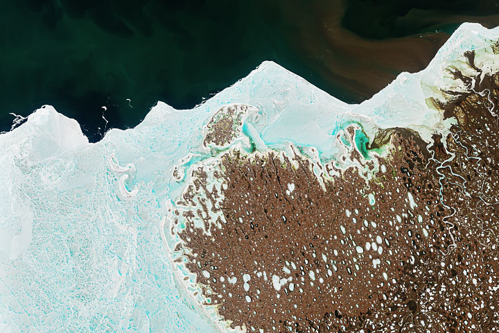
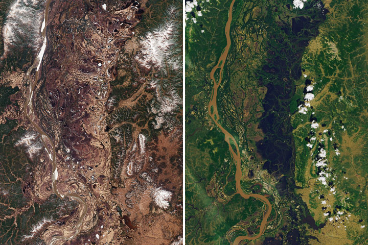
Lena River Sedimentation Read more
![](https://eoimages.gsfc.nasa.gov/images/imagerecords/150000/150477/easterisland_oli2_2022285_th.jpg)
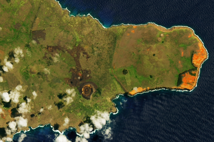
Fire on Easter Island Read more
![](https://eoimages.gsfc.nasa.gov/images/imagerecords/149000/149973/alaska_amo_2022161_th.jpg)
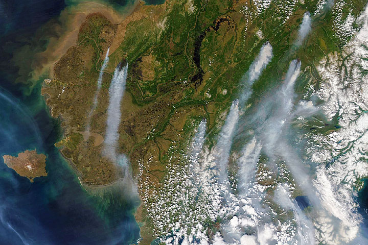
Alaska Ablaze Read more
![](https://eoimages.gsfc.nasa.gov/images/imagerecords/149000/149993/hampton_oli_2022161_th.jpg)
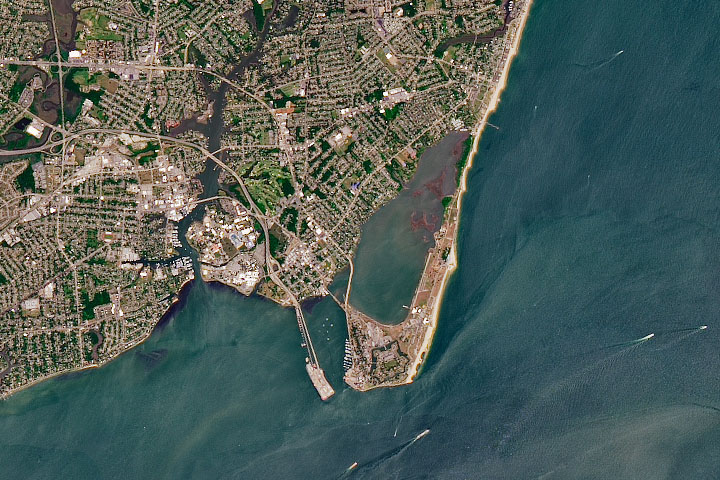
Freedom’s Fortress Read more
![](https://eoimages.gsfc.nasa.gov/images/imagerecords/149000/149996/innoko_oli2_2022256_th.jpg)
Living with Floods in the Innoko Lowlands Read more
![](https://eoimages.gsfc.nasa.gov/images/imagerecords/151000/151574/pasoseverino reservoir_oli2_2023164_th.png)
Reservoirs Run Dry in Montevideo Read more
![](https://eoimages.gsfc.nasa.gov/images/imagerecords/149000/149949/gaylordtrack_oli_2022153_th.png)
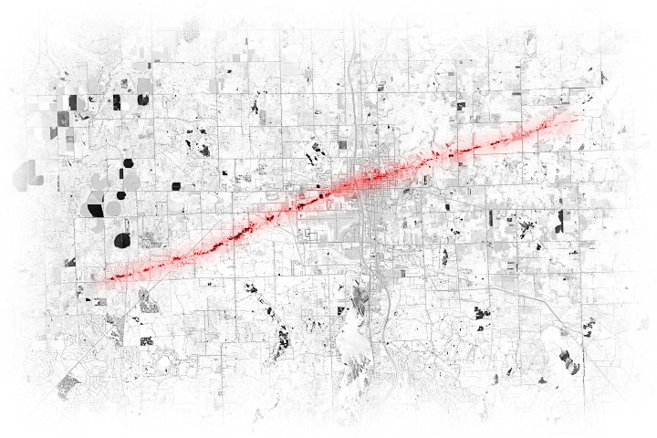
Tornado Scars Northern Michigan Read more
![](https://eoimages.gsfc.nasa.gov/images/imagerecords/149000/149966/bezymianny_oli_2022149_th.jpg)
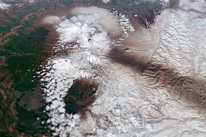
Fire and Ice in Kamchatka Read more
![](https://eoimages.gsfc.nasa.gov/images/imagerecords/149000/149899/bagana_oli2_2022148_th.jpg)
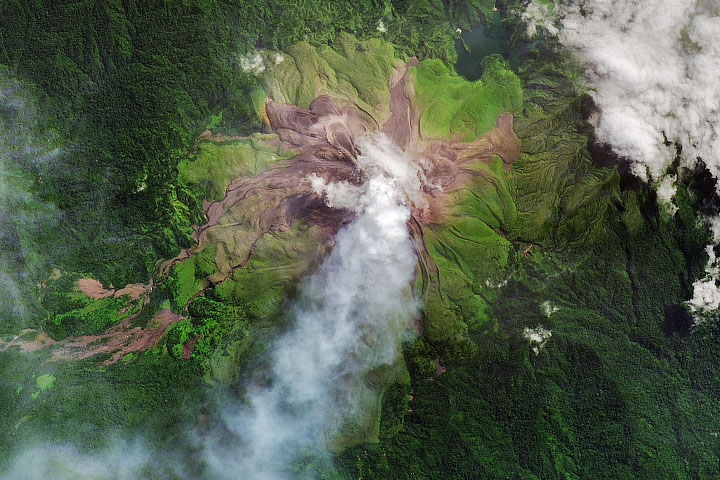
Young, Active Bagana Volcano Read more