The Landsat satellite record stretches from 1972 to the present. This gallery includes all Landsat images published on the Earth Observatory, Visible Earth, and Landsat Science web sites from all seven Landsat satellites (Landsats 1-8, Landsat 6 failed to achieve orbit). All of the images are in the public domain and may be used with attribution. The correct attribution for imagery obtained from this site is:
“Landsat imagery courtesy of NASA Goddard Space Flight Center and U.S. Geological Survey” or “USGS/NASA Landsat”
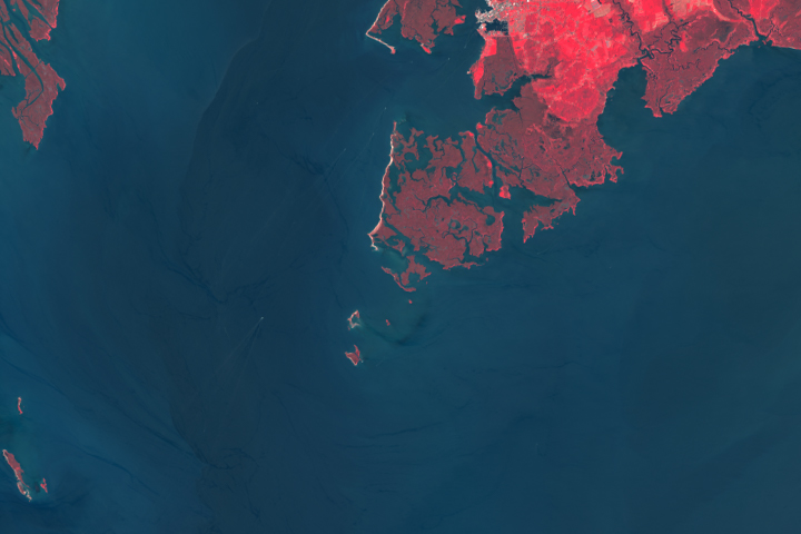
Great Fox is Disappearing Read more
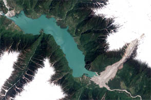
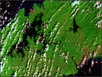
A Monster Slide Read more
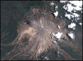
Colima Volcano Erupts in Mexico Read more
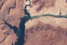
Lake Powell, Utah Read more
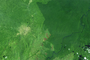
Deforestation in the Democratic Republic of the Congo Read more
The Panama Canal Read more
Panama Canal Read more
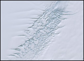
Pine Island Glacier, Antarctica Read more

Zachariæ Isstrøm Glacier, Greenland Read more