The Landsat satellite record stretches from 1972 to the present. This gallery includes all Landsat images published on the Earth Observatory, Visible Earth, and Landsat Science web sites from all seven Landsat satellites (Landsats 1-8, Landsat 6 failed to achieve orbit). All of the images are in the public domain and may be used with attribution. The correct attribution for imagery obtained from this site is:
“Landsat imagery courtesy of NASA Goddard Space Flight Center and U.S. Geological Survey” or “USGS/NASA Landsat”

Wolf Volcano, Galapagos Islands Read more
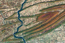
Fall Colors in Pennsylvania Read more
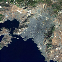
Athens, Greece Read more
Strong Earthquake in Northern Pakistan Read more
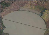
Lake Khanka in Eastern Russia and China Read more
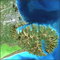
Christchurch, New Zealand Read more
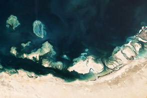
Mangroves, Domes, and Flats on the UAE Coast Read more
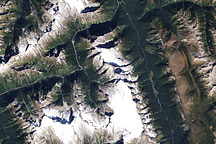
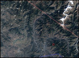
Glacier National Park, Canada Read more
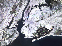
9/11 Read more