The Landsat satellite record stretches from 1972 to the present. This gallery includes all Landsat images published on the Earth Observatory, Visible Earth, and Landsat Science web sites from all seven Landsat satellites (Landsats 1-8, Landsat 6 failed to achieve orbit). All of the images are in the public domain and may be used with attribution. The correct attribution for imagery obtained from this site is:
“Landsat imagery courtesy of NASA Goddard Space Flight Center and U.S. Geological Survey” or “USGS/NASA Landsat”
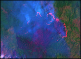
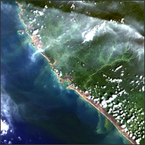
Fires in Hispaniola Read more
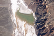
Lake Badwater, Death Valley Read more
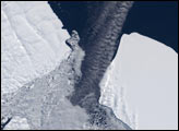
Antarctic Iceberg Gets Stuck Read more
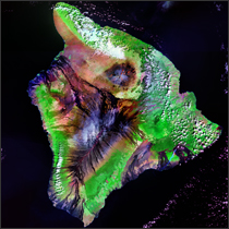
Mauna Loa Read more
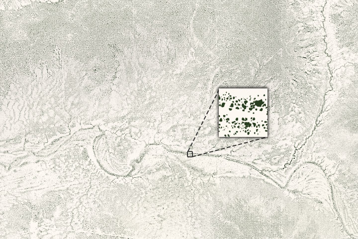
Counting Trees in Africa’s Drylands Read more
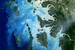
Mergui Archipelago Read more
Aceh, Indonesia Read more

Coastal Recovery in Aceh Province, Sumatra Read more
Katrina’s Deluge Read more