The Landsat satellite record stretches from 1972 to the present. This gallery includes all Landsat images published on the Earth Observatory, Visible Earth, and Landsat Science web sites from all seven Landsat satellites (Landsats 1-8, Landsat 6 failed to achieve orbit). All of the images are in the public domain and may be used with attribution. The correct attribution for imagery obtained from this site is:
“Landsat imagery courtesy of NASA Goddard Space Flight Center and U.S. Geological Survey” or “USGS/NASA Landsat”
Floodwaters Retreat from Birds Point-New Madrid Floodway Read more
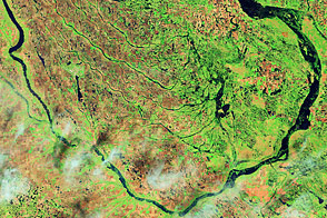
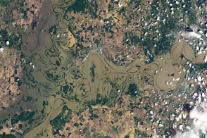
Flooding along the Souris River Read more
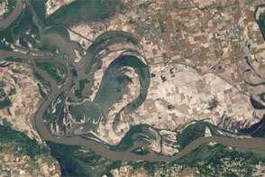
Mississippi Floods near Vicksburg Read more
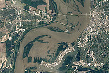
Flooding in Memphis Read more
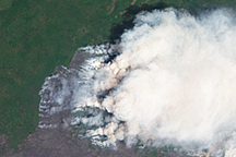
Honey Prairie Fire, Georgia Read more
Flooding along the Wabash and Ohio Rivers Read more
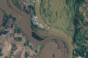
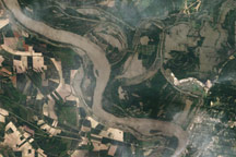
Flooding at the Junction of the Mississippi and Ohio Rivers Read more
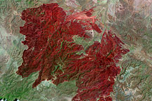
Rockhouse Fire in Texas Read more
Tornado Track near Griffin, Georgia Read more