The Landsat satellite record stretches from 1972 to the present. This gallery includes all Landsat images published on the Earth Observatory, Visible Earth, and Landsat Science web sites from all seven Landsat satellites (Landsats 1-8, Landsat 6 failed to achieve orbit). All of the images are in the public domain and may be used with attribution. The correct attribution for imagery obtained from this site is:
“Landsat imagery courtesy of NASA Goddard Space Flight Center and U.S. Geological Survey” or “USGS/NASA Landsat”
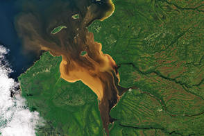
Some Tea With Your River? Read more
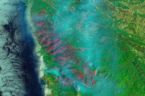
Wildfire along the California Coast Read more
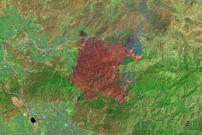
Sand Fire Burn Scar Read more
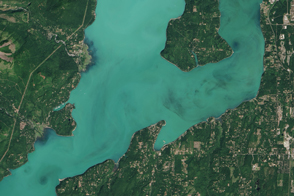
Bloom in Hood Canal, Washington Read more
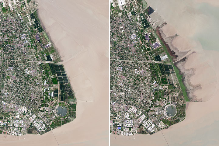
The Expansion of Shanghai Read more
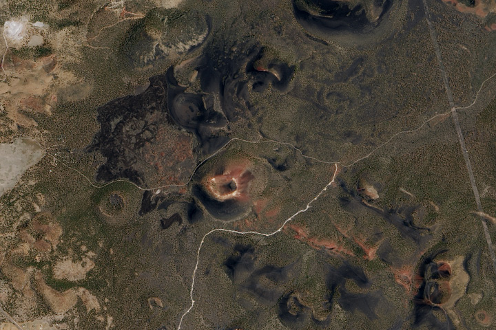
Sunset Crater Read more

Canyonlands National Park Read more
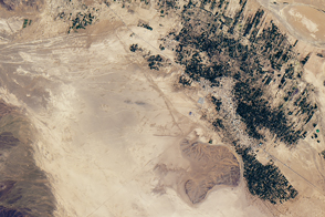
Ancient Waterways in Morocco Read more
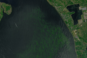
Bloom in Lake Okeechobee Read more