The Landsat satellite record stretches from 1972 to the present. This gallery includes all Landsat images published on the Earth Observatory, Visible Earth, and Landsat Science web sites from all seven Landsat satellites (Landsats 1-8, Landsat 6 failed to achieve orbit). All of the images are in the public domain and may be used with attribution. The correct attribution for imagery obtained from this site is:
“Landsat imagery courtesy of NASA Goddard Space Flight Center and U.S. Geological Survey” or “USGS/NASA Landsat”
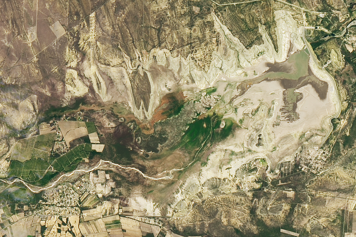
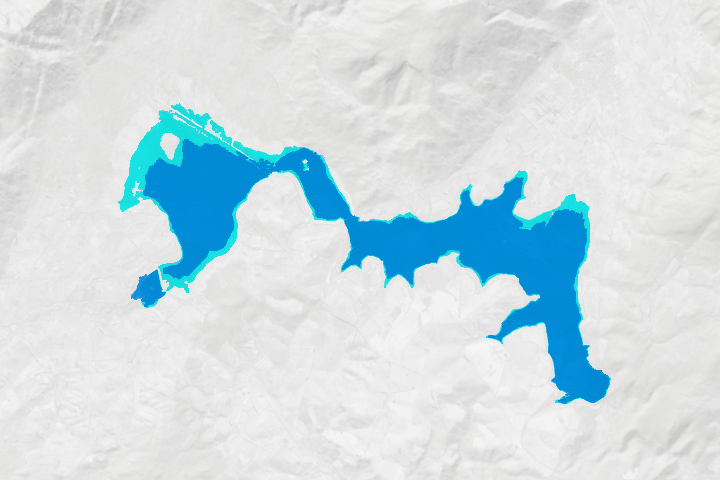
A Reservoir Runs Dry Read more
The Alphabet from Orbit: Letter J Read more
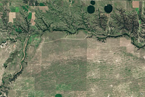
Niobrara National Scenic River Read more
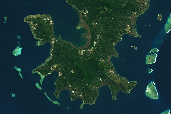
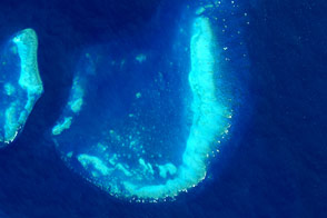
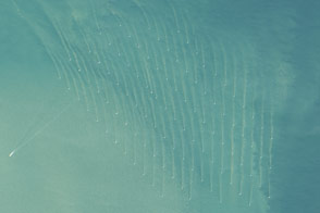
Mayotte’s Lagoon Read more
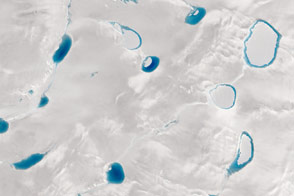
Shades of Blue on the Greenland Ice Sheet Read more
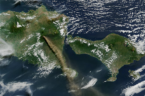
Eruption of Raung Volcano Read more
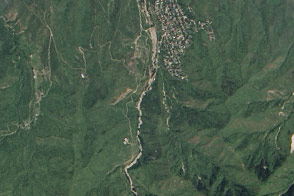
Glacier Lake Outburst Flood near Almaty Read more
Cape Town’s Reservoirs Rebound Read more
Offshore Wind Farms Make Wakes Read more