The Landsat satellite record stretches from 1972 to the present. This gallery includes all Landsat images published on the Earth Observatory, Visible Earth, and Landsat Science web sites from all seven Landsat satellites (Landsats 1-8, Landsat 6 failed to achieve orbit). All of the images are in the public domain and may be used with attribution. The correct attribution for imagery obtained from this site is:
“Landsat imagery courtesy of NASA Goddard Space Flight Center and U.S. Geological Survey” or “USGS/NASA Landsat”
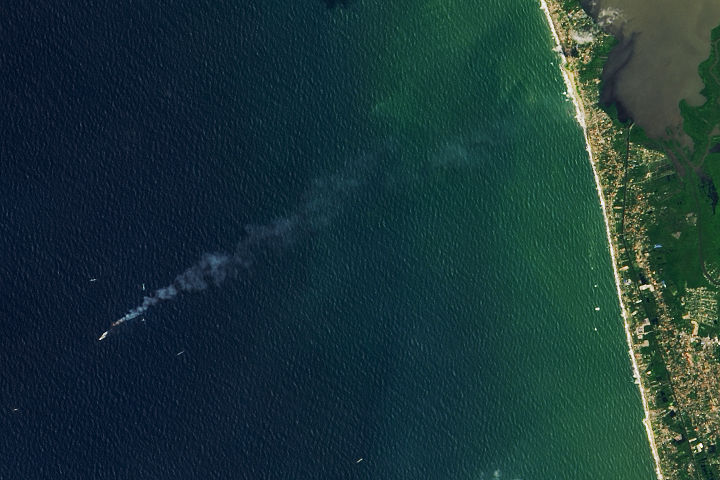
Satellite Observes Ship Fire Off Sri Lanka Read more
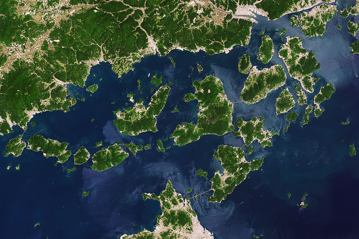
Navigating the Geiyo Islands Read more
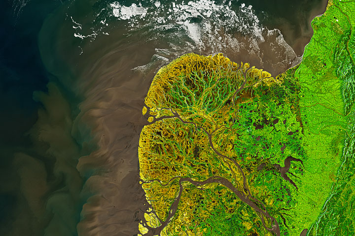
Yukon-Kuskokwim in Colorful Transition Read more
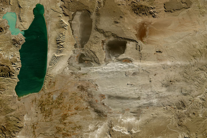
A Dusty Day in Patagonia Read more
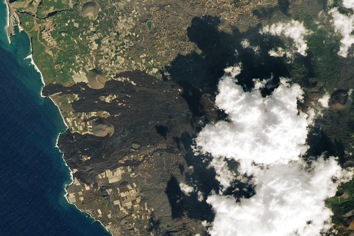
A Changed Landscape on La Palma Read more
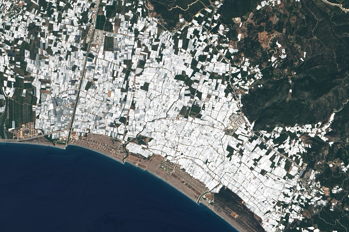
Not So Green Houses Read more
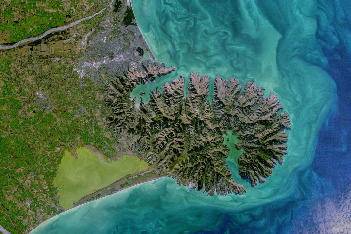
Coastal Color in New Zealand Read more
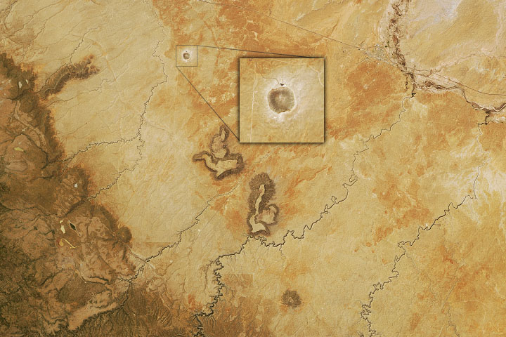
Arizona’s Meteor Crater Read more
Lake Erie Astir Read more