The Landsat satellite record stretches from 1972 to the present. This gallery includes all Landsat images published on the Earth Observatory, Visible Earth, and Landsat Science web sites from all seven Landsat satellites (Landsats 1-8, Landsat 6 failed to achieve orbit). All of the images are in the public domain and may be used with attribution. The correct attribution for imagery obtained from this site is:
“Landsat imagery courtesy of NASA Goddard Space Flight Center and U.S. Geological Survey” or “USGS/NASA Landsat”

Wave Clouds behind Amsterdam Island Read more
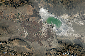
Shrinking Lake Ebinur Read more
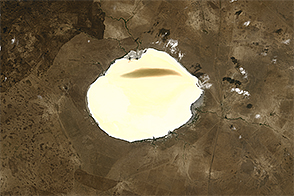
Brightening Lake Elton Read more
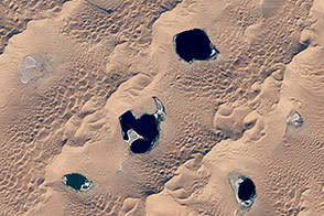
Megadunes and Desert Lakes in China Read more
Herbert Island Read more
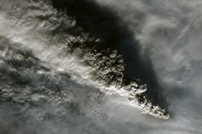
Plumes from Pavlof Volcano Read more
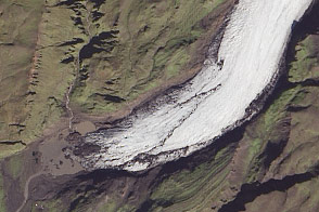
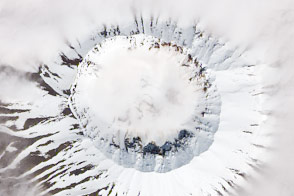
Mýrdalsjökull Then and Now Read more
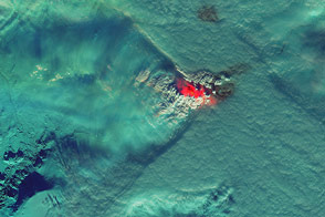
Plumes and Clouds Stand Off Over Holuhraun Lava Field Read more
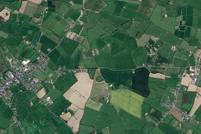
Halloween History Read more