The Landsat satellite record stretches from 1972 to the present. This gallery includes all Landsat images published on the Earth Observatory, Visible Earth, and Landsat Science web sites from all seven Landsat satellites (Landsats 1-8, Landsat 6 failed to achieve orbit). All of the images are in the public domain and may be used with attribution. The correct attribution for imagery obtained from this site is:
“Landsat imagery courtesy of NASA Goddard Space Flight Center and U.S. Geological Survey” or “USGS/NASA Landsat”
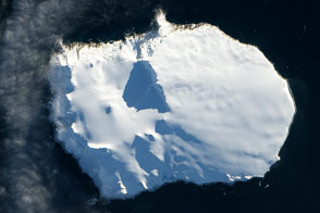
A Thousand Miles from Nowhere Read more
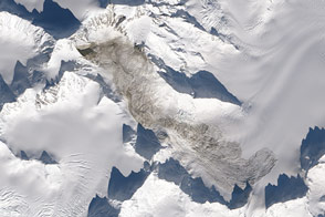
Large Landslide Detected in Southeastern Alaska Read more
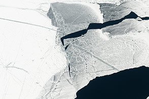
A Great Freeze Over the Great Lakes Read more
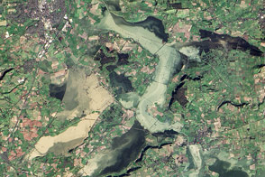
Somerset Levels Swamped Read more

Landsat 8’s First Year Read more
Changed Landscape Around Sinabung Read more

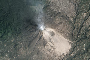
New Lava Dome Grows on Shiveluch Read more
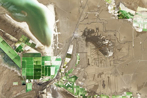
Mineral Mining in China Read more
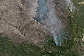
Grampians Fire, Australia Read more