The Landsat satellite record stretches from 1972 to the present. This gallery includes all Landsat images published on the Earth Observatory, Visible Earth, and Landsat Science web sites from all seven Landsat satellites (Landsats 1-8, Landsat 6 failed to achieve orbit). All of the images are in the public domain and may be used with attribution. The correct attribution for imagery obtained from this site is:
“Landsat imagery courtesy of NASA Goddard Space Flight Center and U.S. Geological Survey” or “USGS/NASA Landsat”
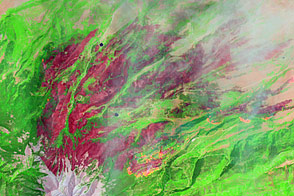
East Peak Fire Burn Scar, Colorado Read more
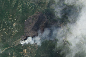
Jaroso Fire, New Mexico Read more
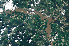
Surging Elbe in Wittenberg Read more

A Long Look at El Paso and Ciudad Juarez Read more
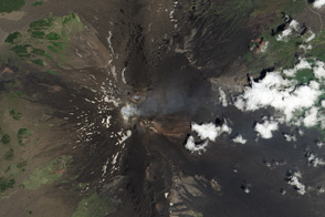
Mount Etna Read more
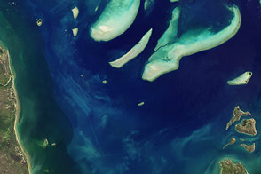
A Better Eye on Reefs Read more
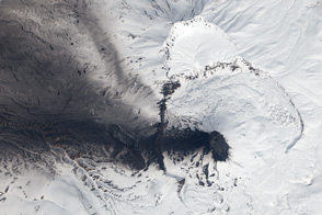
Black Ash, White Snow, and Blue Acid Read more
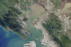
Bay Blues Read more
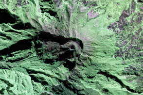
Sizing Up Galeras Read more