The Landsat satellite record stretches from 1972 to the present. This gallery includes all Landsat images published on the Earth Observatory, Visible Earth, and Landsat Science web sites from all seven Landsat satellites (Landsats 1-8, Landsat 6 failed to achieve orbit). All of the images are in the public domain and may be used with attribution. The correct attribution for imagery obtained from this site is:
“Landsat imagery courtesy of NASA Goddard Space Flight Center and U.S. Geological Survey” or “USGS/NASA Landsat”
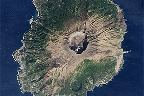
Return to Miyakejima Read more
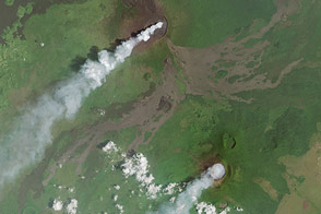
Plumes From Africa’s Volcanic Duo Read more
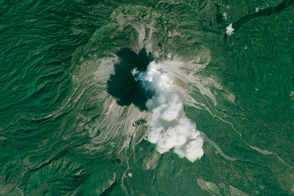
Colima Volcano Erupts Read more
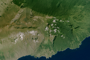
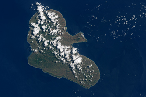
House of the Sun Read more
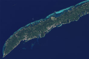
How Tourism Changed the Face of Roatán Read more
In the Aftermath of Cyclone Pam Read more
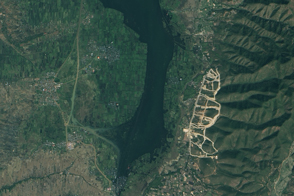
Floating Farms Read more

A Chip off the King Baudouin Ice Shelf Read more
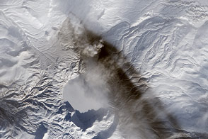
Ashfall from Karymsky Volcano Read more