The Landsat satellite record stretches from 1972 to the present. This gallery includes all Landsat images published on the Earth Observatory, Visible Earth, and Landsat Science web sites from all seven Landsat satellites (Landsats 1-8, Landsat 6 failed to achieve orbit). All of the images are in the public domain and may be used with attribution. The correct attribution for imagery obtained from this site is:
“Landsat imagery courtesy of NASA Goddard Space Flight Center and U.S. Geological Survey” or “USGS/NASA Landsat”
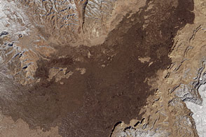
El Malpais National Monument Read more
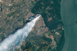
Fire Burns in Mumbai Landfill Read more
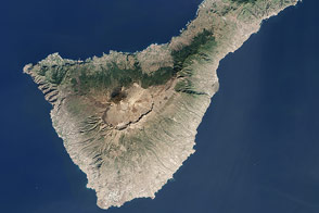
Tenerife, Canary Islands Read more
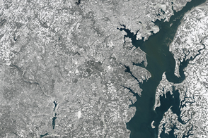
A Snow Blanket for the East Coast Read more
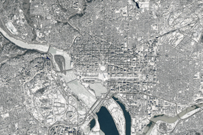
A Capital Covered in Snow Read more
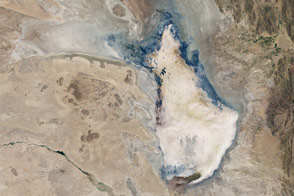
Bolivia’s Lake Poopó Disappears Read more
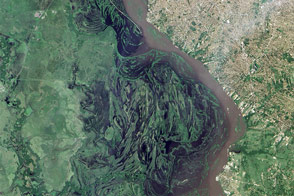
El Niño Fueled Rains Swamp South America Read more
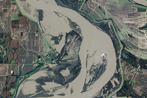
Flooding in Arkansas and Mississippi Read more
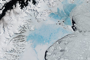
Antarctica’s Changing Larsen Ice Shelf Read more