The Landsat satellite record stretches from 1972 to the present. This gallery includes all Landsat images published on the Earth Observatory, Visible Earth, and Landsat Science web sites from all seven Landsat satellites (Landsats 1-8, Landsat 6 failed to achieve orbit). All of the images are in the public domain and may be used with attribution. The correct attribution for imagery obtained from this site is:
“Landsat imagery courtesy of NASA Goddard Space Flight Center and U.S. Geological Survey” or “USGS/NASA Landsat”
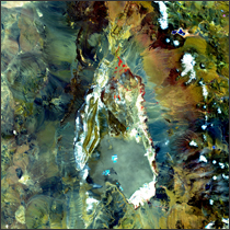
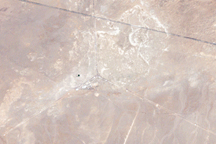
Salar de Atacama Read more
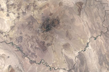
Carrizozo Malpais Read more
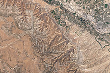
Colorado National Monument Read more
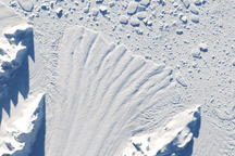
Retreat of Crane Glacier, Antarctic Peninsula Read more

Earthquake near San Simeon, California Read more
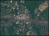
Tornado Hits La Plata, Maryland Read more
The Very Large Array, New Mexico Read more
Big Bend National Park Read more
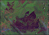
Blackjack Bay Fire in Okefenokee Refuge Read more