The Landsat satellite record stretches from 1972 to the present. This gallery includes all Landsat images published on the Earth Observatory, Visible Earth, and Landsat Science web sites from all seven Landsat satellites (Landsats 1-8, Landsat 6 failed to achieve orbit). All of the images are in the public domain and may be used with attribution. The correct attribution for imagery obtained from this site is:
“Landsat imagery courtesy of NASA Goddard Space Flight Center and U.S. Geological Survey” or “USGS/NASA Landsat”
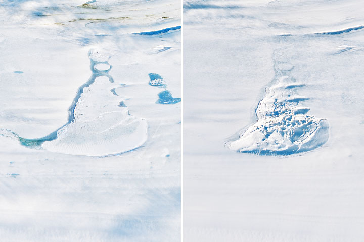
Space Lasers Map Meltwater Lakes Read more
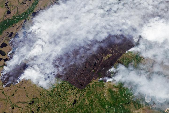
Fires Scorch the Sakha Republic Read more

Blazes Rage in British Columbia Read more
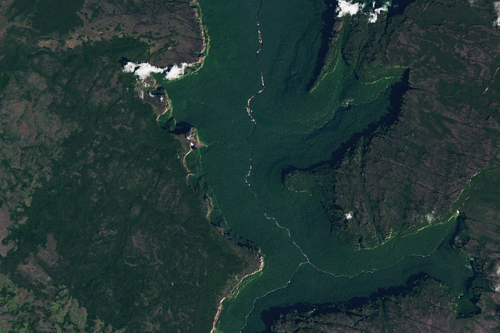
Venezuela’s Flat-Topped Mountains Read more
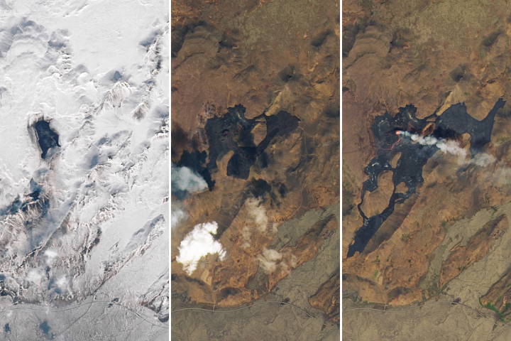
Fagradalsfjall Continues to Erupt Read more
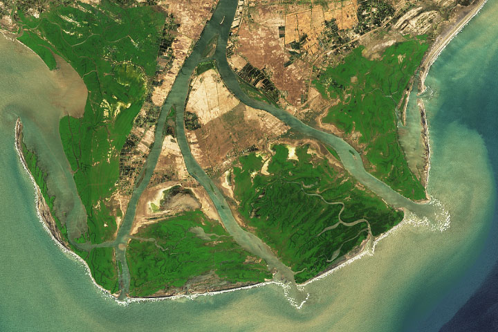
Anticipating Future Sea Levels Read more
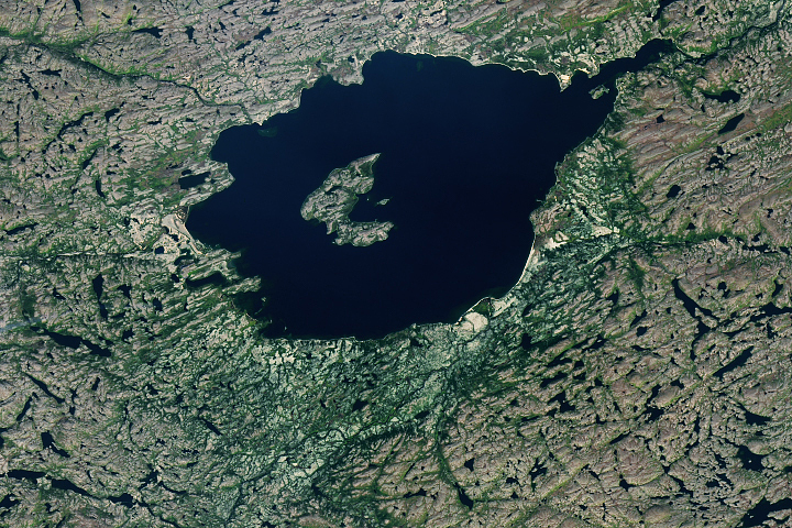
Violent Formation for Mistastin Lake Read more
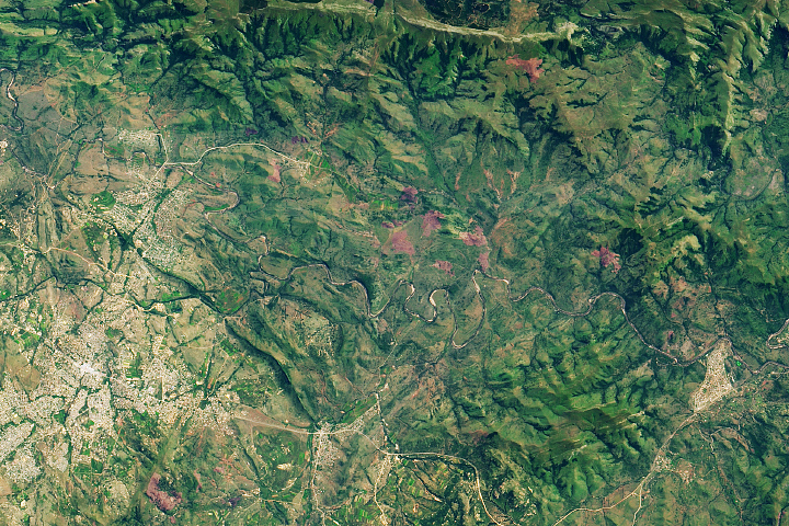
The Ancient Barberton Makhonjwa Mountains Read more
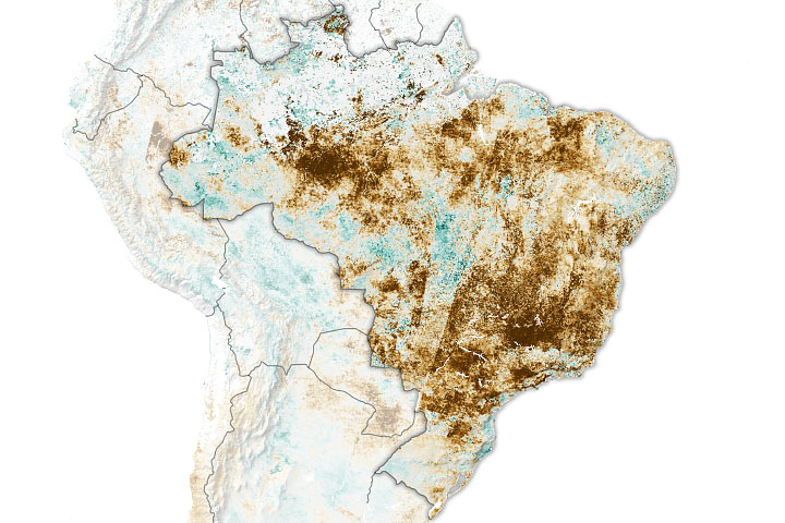
Brazil Battered by Drought Read more