The Landsat satellite record stretches from 1972 to the present. This gallery includes all Landsat images published on the Earth Observatory, Visible Earth, and Landsat Science web sites from all seven Landsat satellites (Landsats 1-8, Landsat 6 failed to achieve orbit). All of the images are in the public domain and may be used with attribution. The correct attribution for imagery obtained from this site is:
“Landsat imagery courtesy of NASA Goddard Space Flight Center and U.S. Geological Survey” or “USGS/NASA Landsat”
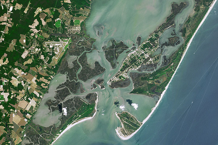
NASA Returns to the Beach: Assateague on the Move Read more

Assateague on the Move Read more
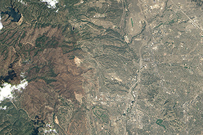
Building in Colorado’s Fire Zone, Part 1 Read more
Building in Colorado’s Fire Zone, Part 2 Read more
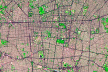
Tehran Urbanization Read more
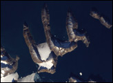
Melting Ice Reveals New Island off Greenland Read more

Ice Could Crumble from Planpincieux Glacier Read more

Water Level Changes in Lake Mead Read more
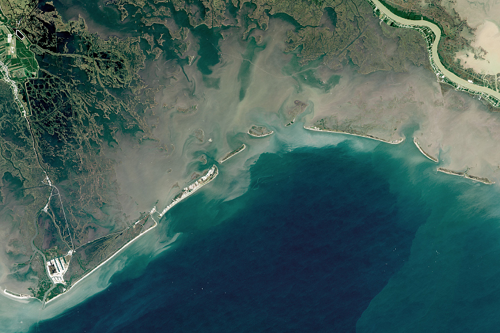
Reshaping Coastal Louisiana Read more