The Landsat satellite record stretches from 1972 to the present. This gallery includes all Landsat images published on the Earth Observatory, Visible Earth, and Landsat Science web sites from all seven Landsat satellites (Landsats 1-8, Landsat 6 failed to achieve orbit). All of the images are in the public domain and may be used with attribution. The correct attribution for imagery obtained from this site is:
“Landsat imagery courtesy of NASA Goddard Space Flight Center and U.S. Geological Survey” or “USGS/NASA Landsat”
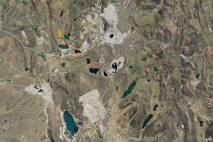
Mining Peru’s Cerro de Pasco Read more

Malaspina on the Move Read more
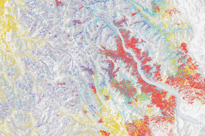
Spotting the Spotted Owl: 30 Years of Forest Disturbance Read more
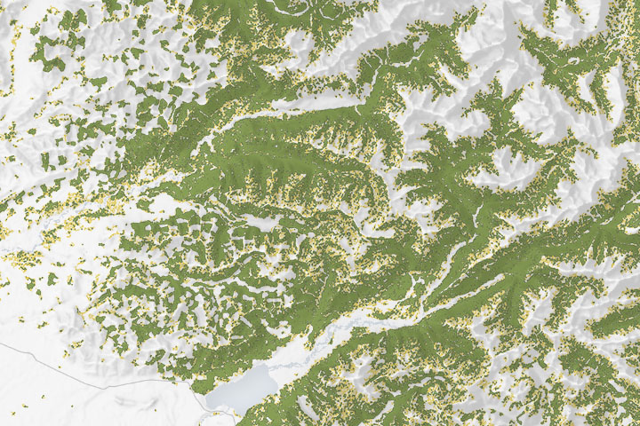
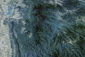
Spotting the Spotted Owl: 30 Years of Habitat Change Read more
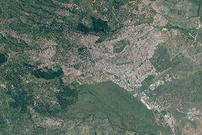
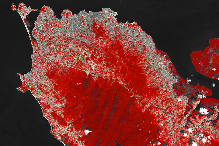
Nairobi Swells with Urban Growth Read more
The ‘Place of Blue Smoke’ Read more
A Growing City and a Deadly Landslide Read more
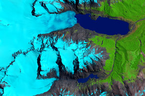
Retreat of the Sierra de Sangra Glaciers Read more
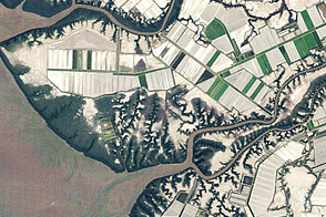
Tiny Shrimp, Big Changes Read more