The Landsat satellite record stretches from 1972 to the present. This gallery includes all Landsat images published on the Earth Observatory, Visible Earth, and Landsat Science web sites from all seven Landsat satellites (Landsats 1-8, Landsat 6 failed to achieve orbit). All of the images are in the public domain and may be used with attribution. The correct attribution for imagery obtained from this site is:
“Landsat imagery courtesy of NASA Goddard Space Flight Center and U.S. Geological Survey” or “USGS/NASA Landsat”
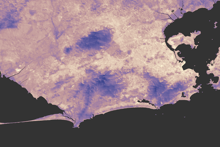
Climate Proofing Rio de Janeiro Read more
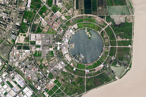
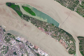
New Land Around Shanghai Read more
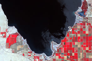
Shrinking Shoreline of the Salton Sea Read more
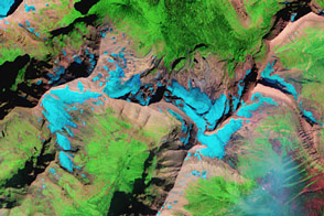
Glacial Change in Montana’s Blackfoot-Jackson Basin Read more
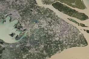
Sprawling Shanghai Read more
Fresh Water for Shanghai Read more
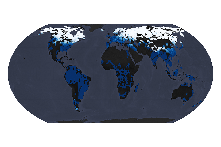
Rivers Are Getting Less Icy Read more
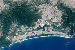
Rio de Janeiro: A Changing City Read more
Alaska in Flux: Slumping Coastlines Read more