The Landsat satellite record stretches from 1972 to the present. This gallery includes all Landsat images published on the Earth Observatory, Visible Earth, and Landsat Science web sites from all seven Landsat satellites (Landsats 1-8, Landsat 6 failed to achieve orbit). All of the images are in the public domain and may be used with attribution. The correct attribution for imagery obtained from this site is:
“Landsat imagery courtesy of NASA Goddard Space Flight Center and U.S. Geological Survey” or “USGS/NASA Landsat”

Urban Growth of New Delhi Read more
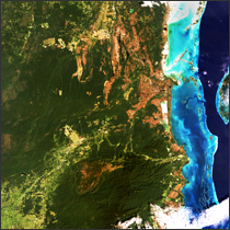
Belize Read more

Tasman Glacier Retreats Read more
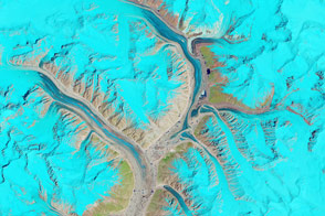
As Glacial Lakes Grow, So Do the Risks Read more
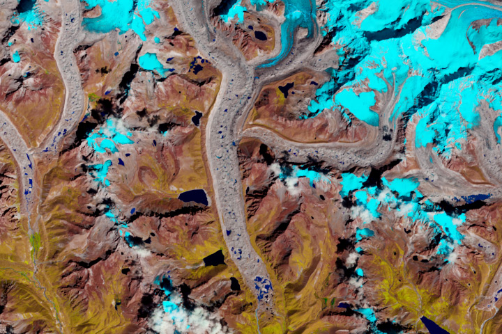
Animating the “Karakoram Anomaly” Read more
A Diminishing Reservoir Read more

Lake Mead, Nevada Read more
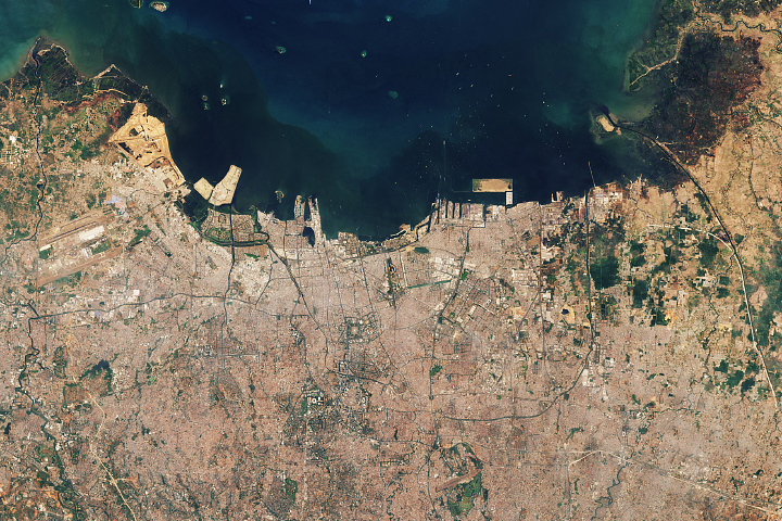
As Jakarta Grows, So Do the Water Issues Read more
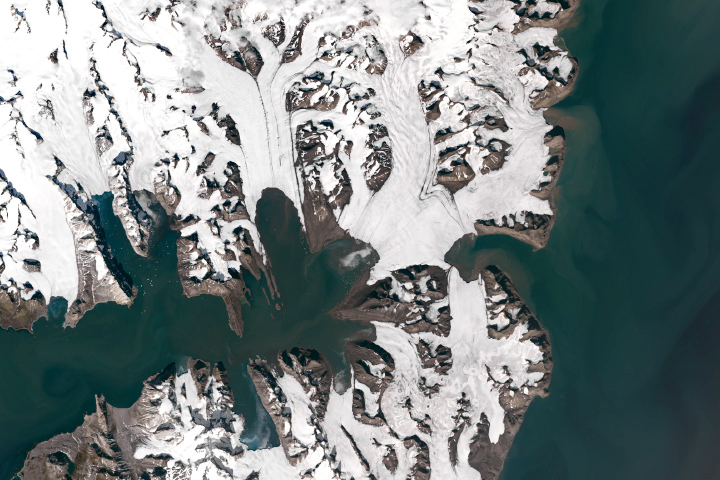
Losing Ice in Svalbard Read more