The Landsat satellite record stretches from 1972 to the present. This gallery includes all Landsat images published on the Earth Observatory, Visible Earth, and Landsat Science web sites from all seven Landsat satellites (Landsats 1-8, Landsat 6 failed to achieve orbit). All of the images are in the public domain and may be used with attribution. The correct attribution for imagery obtained from this site is:
“Landsat imagery courtesy of NASA Goddard Space Flight Center and U.S. Geological Survey” or “USGS/NASA Landsat”
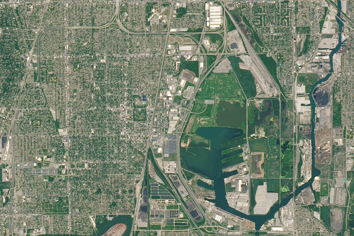
Laboring in Pullman Read more
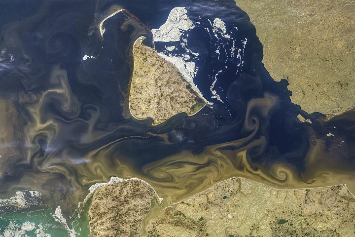
Tawny Swirls in the Kara Sea Read more
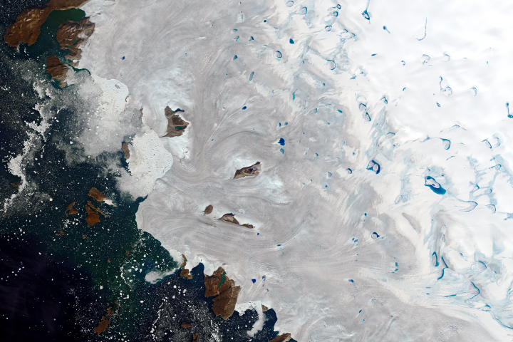
Warm Weather Brings Major Melting to Greenland Read more

Getting Saltier Read more
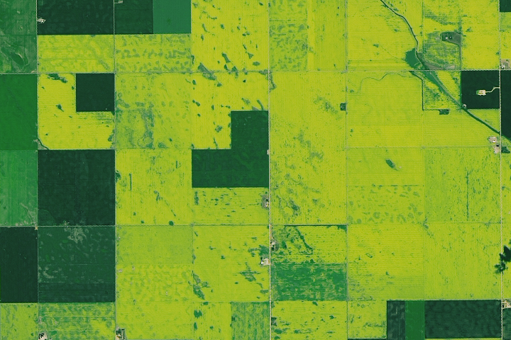
Canadian Canola Fields Read more

South Africa’s Largest Open-Pit Mine Read more
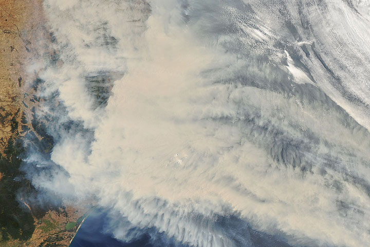
Thick Smoke Blankets Southeastern Australia Read more
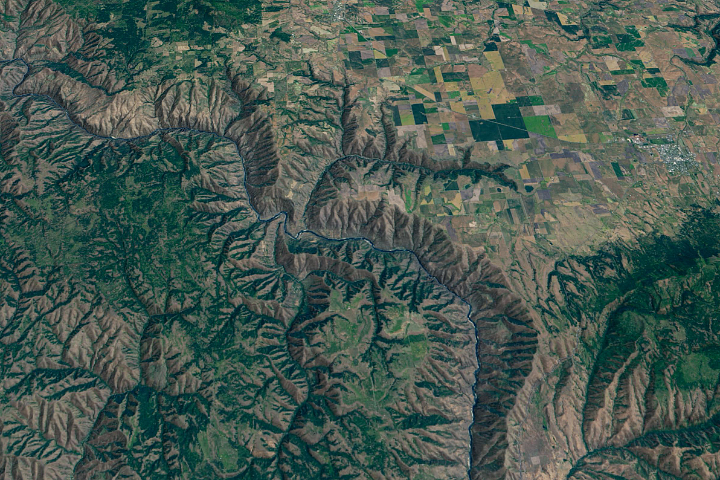
The River of No Return Read more
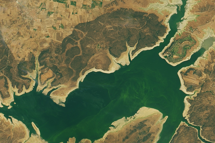
Drought Reveals Lost “Spanish Stonehenge” Read more