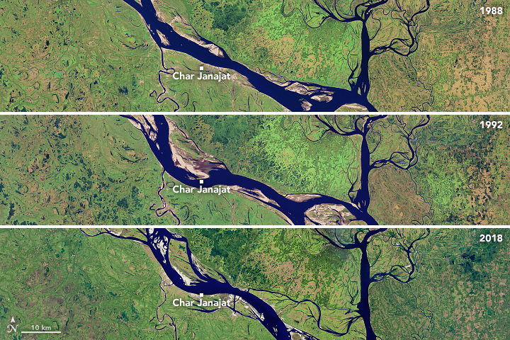
Meandering Bends of the Lower Padma River
Downloads
- charjanajat_oli_2018020.jpg (720x480, JPEG)
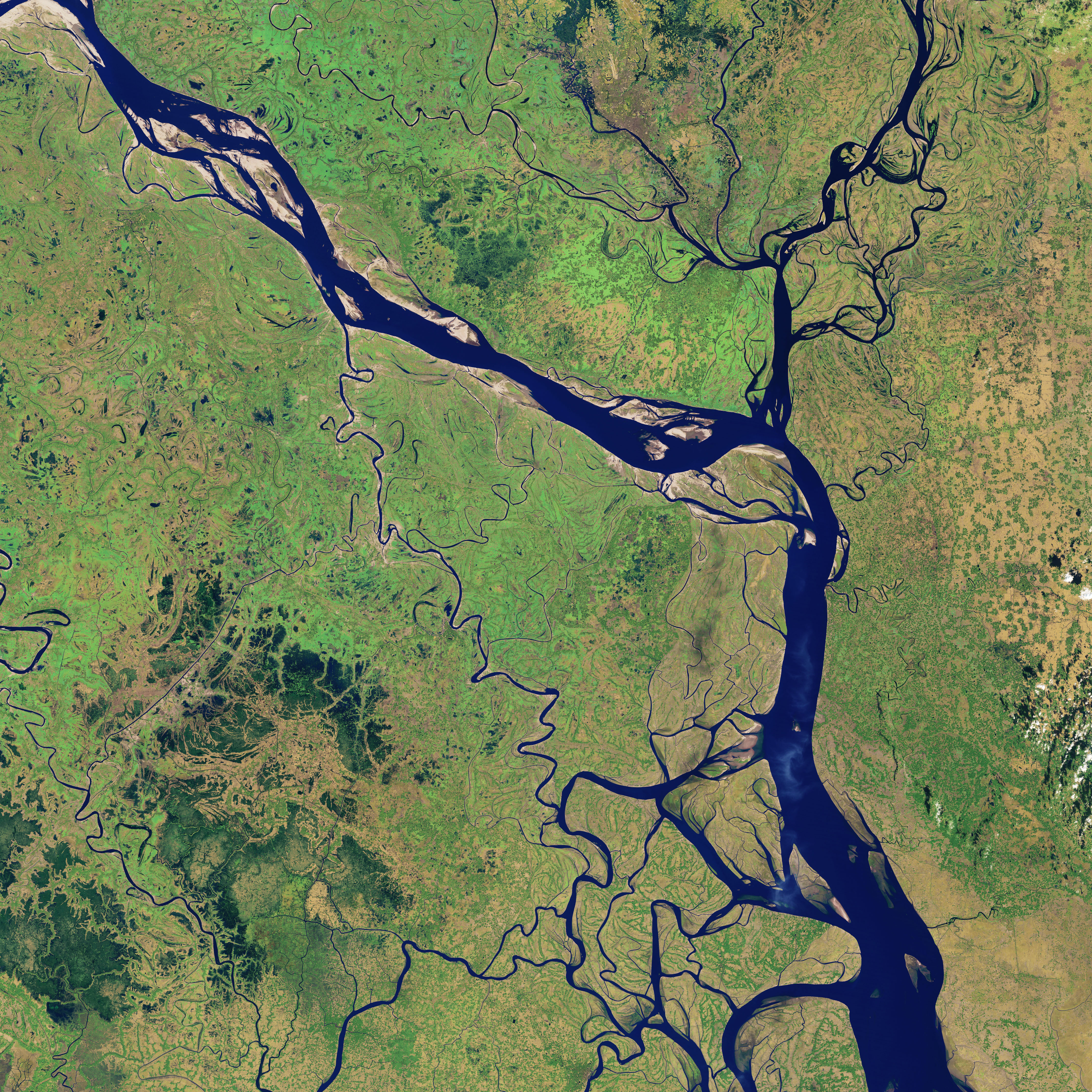
- padma_tm5_1988002_lrg.jpg (4283x4284, JPEG)
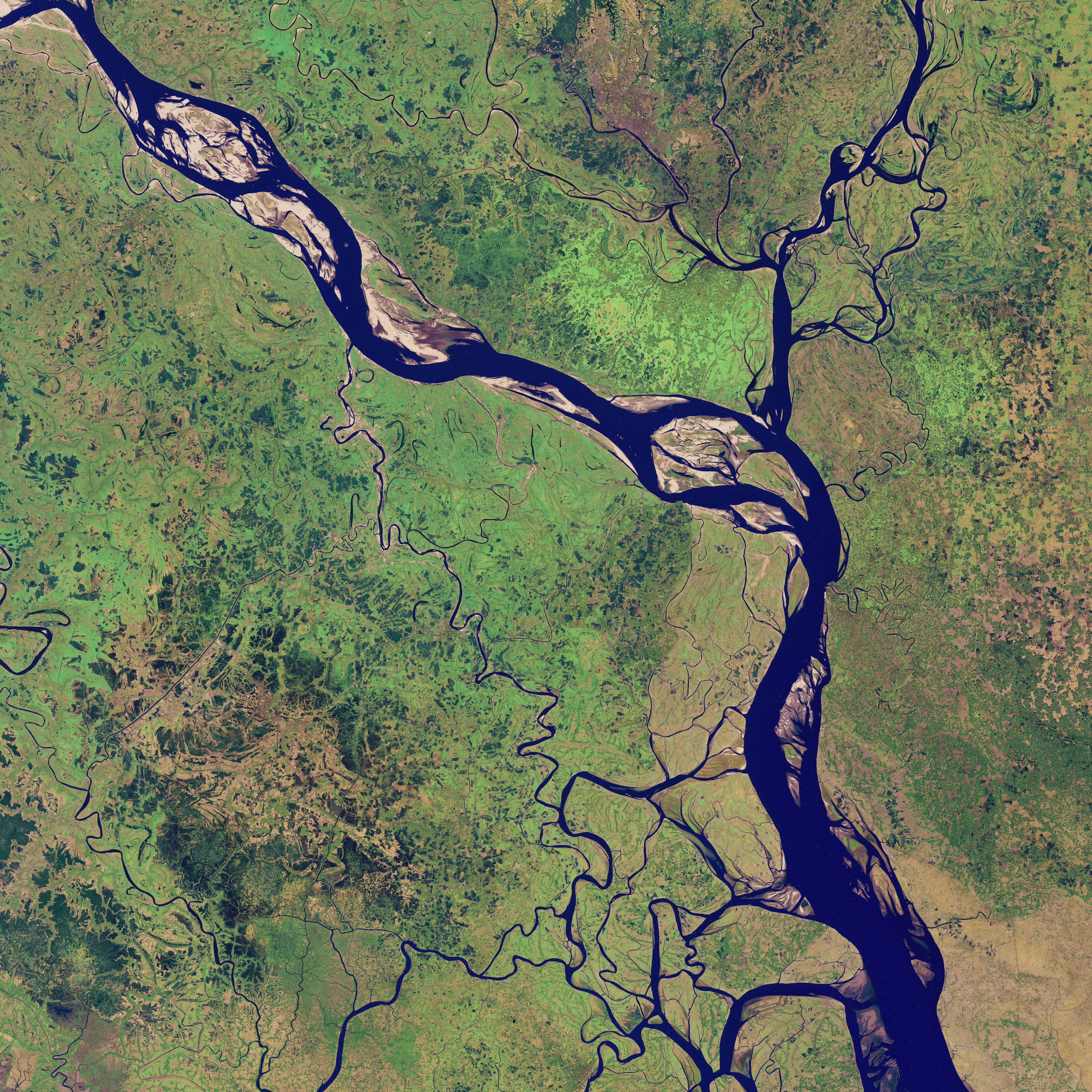
- padma_tm5_1992029_lrg.jpg (4283x4284, JPEG)
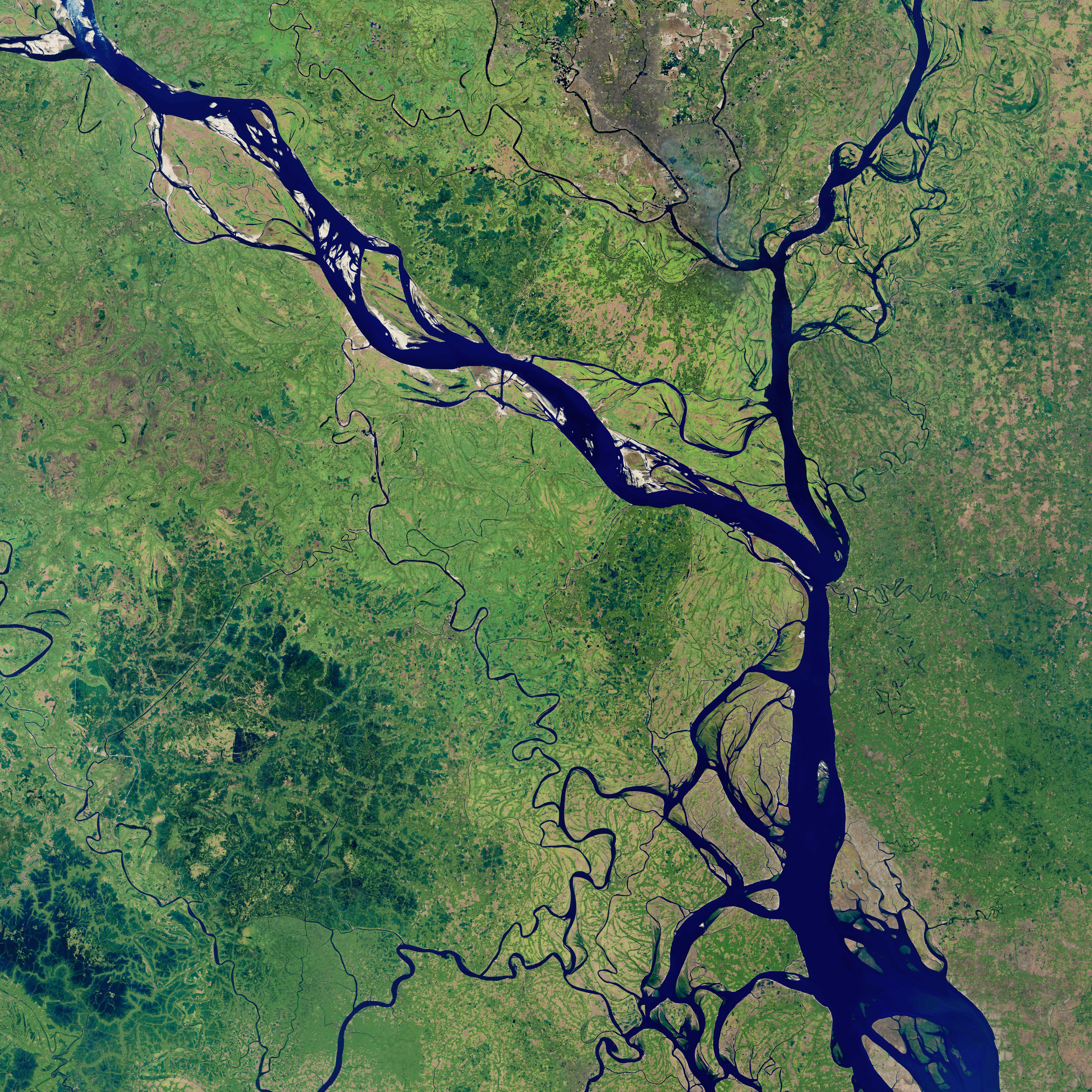
- padma_oli_2018020_lrg.jpg (4283x4284, JPEG)
Metadata
- Sensor(s):
- Landsat 5 - TM
- Landsat 8 - OLI
- Data Date: January 2, 1988 - January 20, 2018
- Visualization Date: August 24, 2018
The Padma is one of the major rivers of Bangladesh, flowing across the rich, fertile, flat land of South Asia. Sometimes the river acts as a pathway for transportation, but other times it has more destructive effects that displace farms, homes, and lives. Every year, hundreds (sometimes thousands) of hectares of land erode into the Padma River. Since 1967, more than 66,000 hectares (256 square miles) have been lost—roughly the area of Chicago.
For the past 30 years, satellites have observed how the river has grown in size, transformed in shape, and changed in location. These natural-color satellite images show the Padma River in 1988, 1992, and 2018. The images were acquired by Landsat satellites: the Thematic Mapper on Landsat 5, the Enhanced Thematic Mapper Plus on Landsat 7, and the Operational Land Imager on Landsat 8. All images were acquired in January and February during the dry season.
Over the past three decades, the river has changed from a relatively narrow, straight line to meandering to braided and, most recently, back to straight. The upper region has experienced the most erosion, but noticeable change has also taken place near Char Janajat.
The erosion is indicated by the presence of meandering bends, or the tendency of the river to snake back and forth in an S-shape. Such formations evolve as the river’s flow wears away the outer banks, widening the channel.
In the 1988 image, the river course was narrower and the right bank was slightly convex. A curve started to develop in 1992 and lasted for eight years. The bend then began straightening and has since disappeared. Padma’s meandering bends subsided due to chute-off—when the water flows across the land instead of following the curve of the river.
Researchers are particularly interested in the Char Janajat area because it is the site of a new bridge crossing. As one of Bangladesh’s biggest construction projects, the Padma River Bridge will connect the eastern and western parts of the country and shorten travel times between some locations from thirteen hours to three. There have been some concerns that erosion could threaten the construction of the bridge, although other researchers believe it could actually stabilize the banks and reduce erosion once it is finished. The bridge is scheduled to open by the end of 2018.
References and Further Reading
- Bhuiyan, M.A.H., et al. (2017, December 21) Exploring impacts and livelihood vulnerability of riverbank erosion hazard among rural household along the river Padma of Bangladesh. Environmental Systems Research, 6: 25.
- Islam, S. et al,. (2012, January) Padma Bridge in Bangladesh—An Opportunity and Challenges for Char–Land Livelihoods Sustainability: A Case Study on Char–Janajat in the Ganges Active Delta. Asia Pacific Journal of Rural Development (APJORD). XXI. 119–144.
- Rahman MM, Islam MN (2017, November 23) Comparison of Right and Left Bank Erosion Pattern of the Padma River Part III. Journal of Geology and Geophysics, 6: 315.
- Rahman MM, Nazrul Islam M (2018, April 20) Meandering Bend Development Process at Mawa Reach of the Padma River.Journal of Geology and Geophysics, 7: 338.
- Xinhuanet News (2018, March 11) Third span of Bangladesh’s largest Padma bridge installed. Accessed June 13, 2018.
NASA Earth Observatory images by Joshua Stevens, using Landsat data from the U.S. Geological Survey. Story by Kasha Patel.
This image record originally appeared on the Earth Observatory. Click here to view the full, original record.