The Landsat satellite record stretches from 1972 to the present. This gallery includes all Landsat images published on the Earth Observatory, Visible Earth, and Landsat Science web sites from all seven Landsat satellites (Landsats 1-8, Landsat 6 failed to achieve orbit). All of the images are in the public domain and may be used with attribution. The correct attribution for imagery obtained from this site is:
“Landsat imagery courtesy of NASA Goddard Space Flight Center and U.S. Geological Survey” or “USGS/NASA Landsat”
Progression of California’s Rim Fire Read more
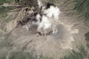
Big Blast at Sakurajima Volcano, Japan Read more

Revisiting Bikini Atoll Read more
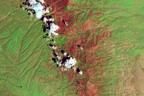
After a Fire, Before a Flood Read more
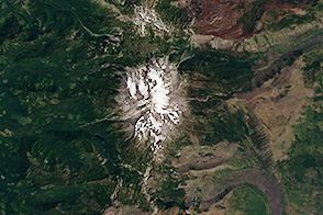
Mount Jefferson Read more

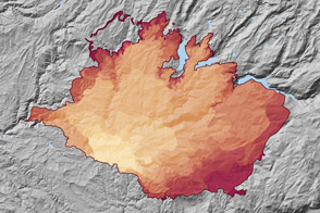
The Randolph Glacier Inventory Read more

Silver Fire, California Read more
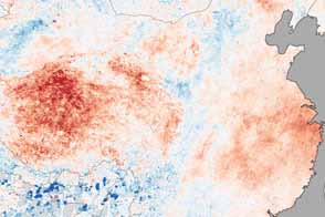
Heat Wave in China Read more
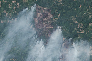
Big Windy Complex Fire, Oregon Read more