The Landsat satellite record stretches from 1972 to the present. This gallery includes all Landsat images published on the Earth Observatory, Visible Earth, and Landsat Science web sites from all seven Landsat satellites (Landsats 1-8, Landsat 6 failed to achieve orbit). All of the images are in the public domain and may be used with attribution. The correct attribution for imagery obtained from this site is:
“Landsat imagery courtesy of NASA Goddard Space Flight Center and U.S. Geological Survey” or “USGS/NASA Landsat”
![](https://eoimages.gsfc.nasa.gov/images/imagerecords/150000/150228/guadeloupezm_oli2_202294_th.jpg)
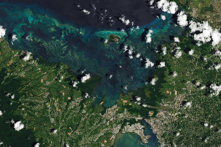
Guadeloupe, Lesser Antilles Read more
![](https://eoimages.gsfc.nasa.gov/images/imagerecords/150000/150209/myakka_oli_2022031_th.jpg)
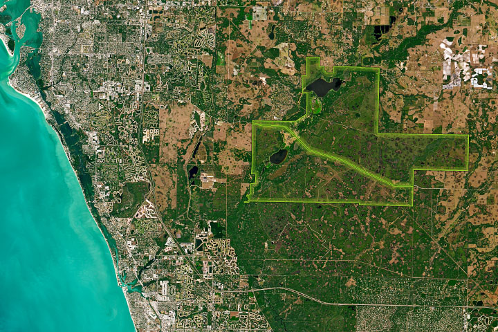
Myakka River State Park Read more
![](https://eoimages.gsfc.nasa.gov/images/imagerecords/150000/150204/bahrainzm2_oli2_2022205_th.jpg)
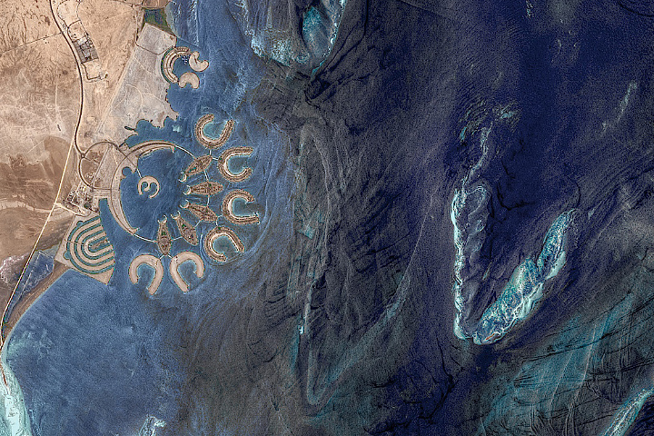
Making Pearls in the Persian Gulf Read more
![](https://eoimages.gsfc.nasa.gov/images/imagerecords/150000/150197/gulfoffinland_oli_2022221_th.jpg)
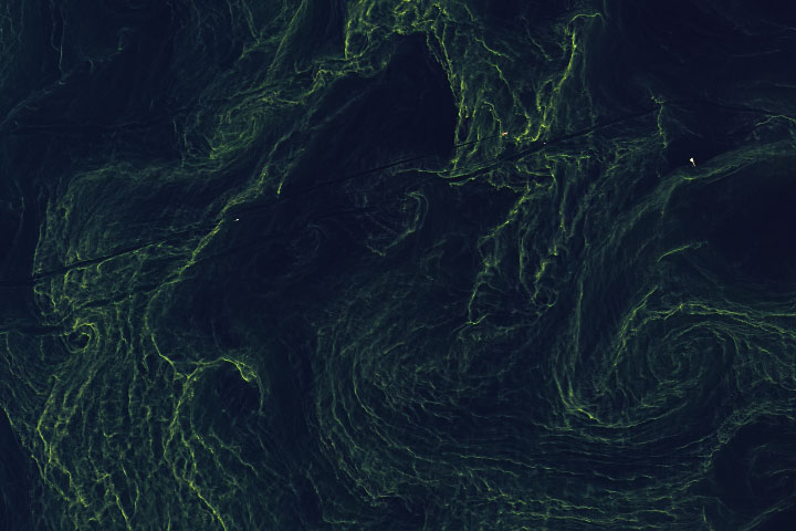
Greening the Gulf of Finland Read more
![](https://eoimages.gsfc.nasa.gov/images/imagerecords/150000/150187/greatsaltlake_oli2_202207_th.jpg)
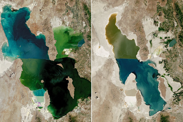
The Great Shrinking Lake Read more
![](https://eoimages.gsfc.nasa.gov/images/imagerecords/150000/150175/cafires_oli_2022218_th.jpg)
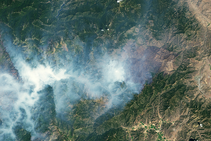
Scarred Land and Smoky Skies Read more
![](https://eoimages.gsfc.nasa.gov/images/imagerecords/150000/150165/svarlbard_oli2_2022210_th.jpg)
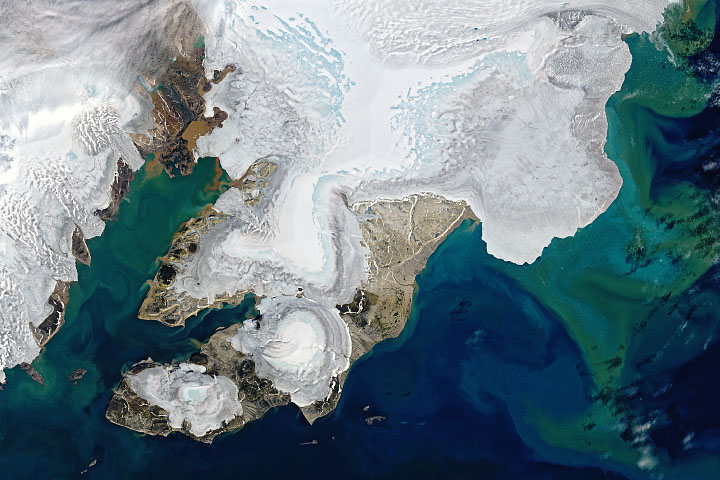
Summer Melting in Svalbard Read more
![](https://eoimages.gsfc.nasa.gov/images/imagerecords/150000/150162/tidalwetlandloss_oli_2019_th.jpg)
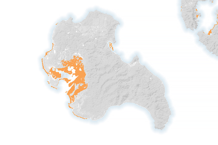
Mapping Missing Mangroves Read more
![](https://eoimages.gsfc.nasa.gov/images/imagerecords/150000/150159/muruntau_oli_2022203_th.jpg)
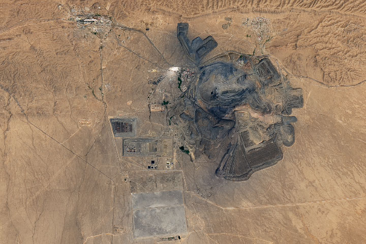
Muruntau Gold Mine Read more