The Landsat satellite record stretches from 1972 to the present. This gallery includes all Landsat images published on the Earth Observatory, Visible Earth, and Landsat Science web sites from all seven Landsat satellites (Landsats 1-8, Landsat 6 failed to achieve orbit). All of the images are in the public domain and may be used with attribution. The correct attribution for imagery obtained from this site is:
“Landsat imagery courtesy of NASA Goddard Space Flight Center and U.S. Geological Survey” or “USGS/NASA Landsat”
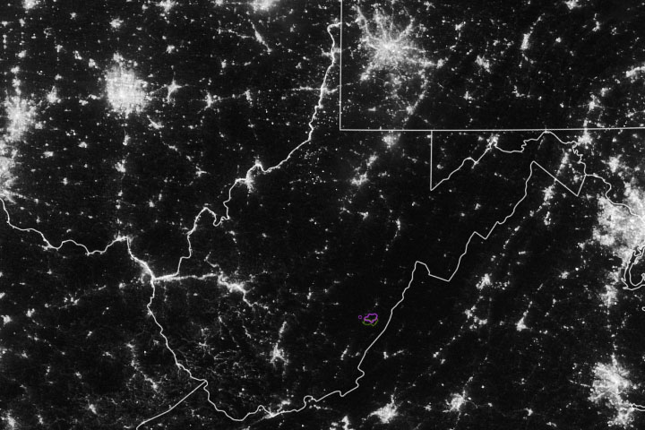
West Virginia’s Dark, Starry Parks Read more
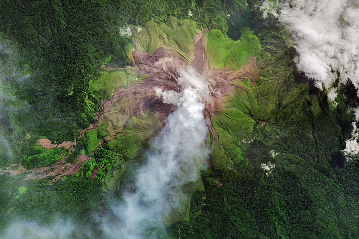
Young, Active Bagana Volcano Read more
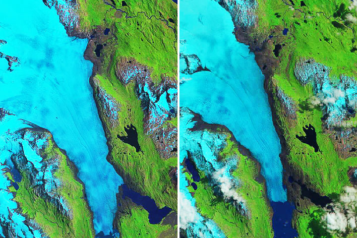
Melting Glacier Exposes Ichthyosaur Fossils Read more
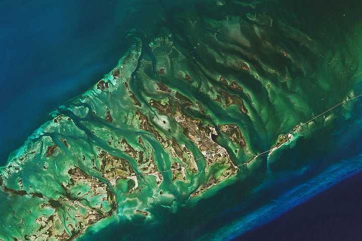
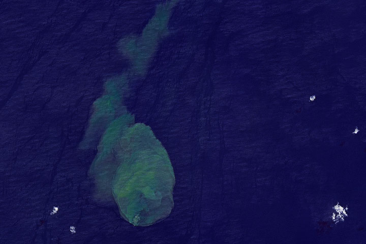
The Changing Seas of the Florida Keys Read more
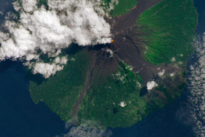
Manam Volcano, Papua New Guinea Read more
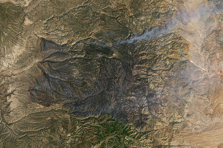
The Black Fire Blows Up in New Mexico Read more
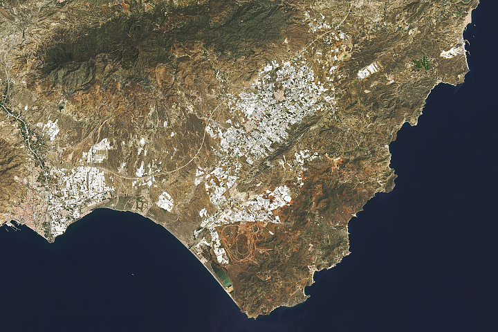
Cabo de Gata-Níjar Natural Park Read more
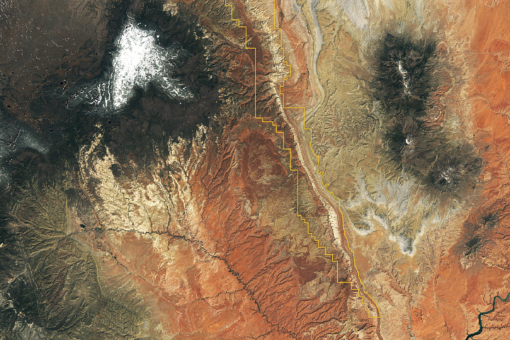
Traces of an Ancient Watery World in Capitol Reef Read more
Submarine Eruption of Kavachi Volcano Read more