The Landsat satellite record stretches from 1972 to the present. This gallery includes all Landsat images published on the Earth Observatory, Visible Earth, and Landsat Science web sites from all seven Landsat satellites (Landsats 1-8, Landsat 6 failed to achieve orbit). All of the images are in the public domain and may be used with attribution. The correct attribution for imagery obtained from this site is:
“Landsat imagery courtesy of NASA Goddard Space Flight Center and U.S. Geological Survey” or “USGS/NASA Landsat”
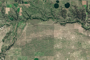
Niobrara National Scenic River Read more
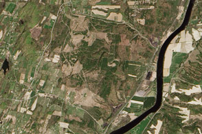
Memorial Day at Saratoga Read more
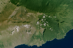
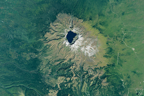
House of the Sun Read more
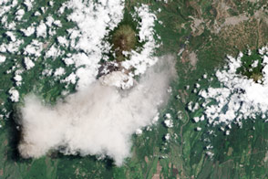
Ash From Fuego Volcano Read more
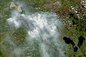
Wildfires Still Scarring Land Around Fort McMurray Read more
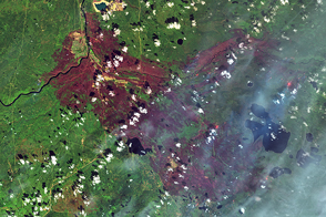
Fort McMurray Burn Scar Read more
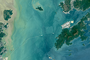
Bridging the Pearl River Delta Read more
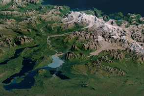
Katmai National Park, Alaska Read more
Mount Paektu: North Korea’s Slumbering Giant Read more