The Landsat satellite record stretches from 1972 to the present. This gallery includes all Landsat images published on the Earth Observatory, Visible Earth, and Landsat Science web sites from all seven Landsat satellites (Landsats 1-8, Landsat 6 failed to achieve orbit). All of the images are in the public domain and may be used with attribution. The correct attribution for imagery obtained from this site is:
“Landsat imagery courtesy of NASA Goddard Space Flight Center and U.S. Geological Survey” or “USGS/NASA Landsat”
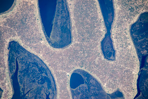
Chilubi Island, Zambia Read more
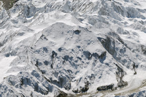
A New Identity for Denali Read more
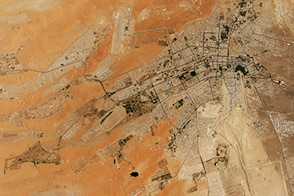
The Greening of Al Ain Read more
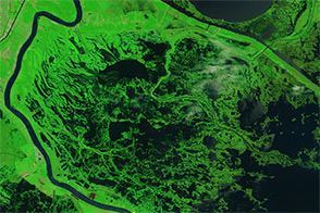
Signs of Katrina Linger in the Marshes Read more
Using Satellites to Study Svalbard’s Growing Season Read more

Blooming Baltic Sea Read more

Establishing El Gouna Read more
Vegetation Limits City Warming Effects Read more
Ice Loss From Jakobshavn Glacier Read more