The Landsat satellite record stretches from 1972 to the present. This gallery includes all Landsat images published on the Earth Observatory, Visible Earth, and Landsat Science web sites from all seven Landsat satellites (Landsats 1-8, Landsat 6 failed to achieve orbit). All of the images are in the public domain and may be used with attribution. The correct attribution for imagery obtained from this site is:
“Landsat imagery courtesy of NASA Goddard Space Flight Center and U.S. Geological Survey” or “USGS/NASA Landsat”
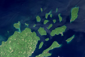
Apostle Islands National Lakeshore Read more
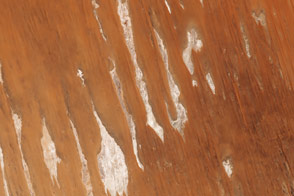
Poeppel Corner, Australia Read more
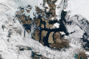
Partial Opening of the Northwest Passage Read more
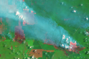
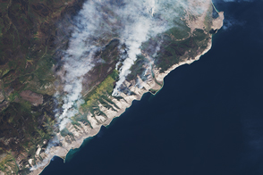
Smoke and Fires in Sumatra Read more
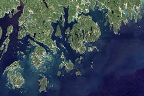
Acadia National Park Read more
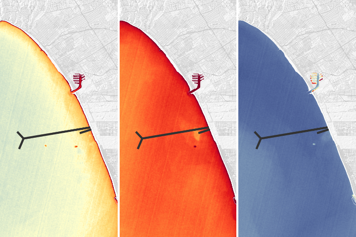
Monitoring Outflow and Algae Read more
Fire and Smoke Lingers Around Lake Baikal Read more
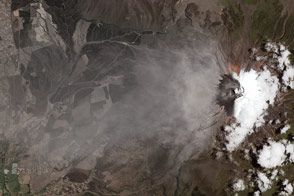
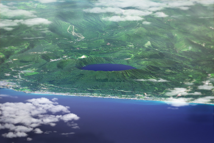
Cotopaxi Volcano, Ecuador Read more
Volcanic Hell Makes for Bathing Heaven Read more