The Landsat satellite record stretches from 1972 to the present. This gallery includes all Landsat images published on the Earth Observatory, Visible Earth, and Landsat Science web sites from all seven Landsat satellites (Landsats 1-8, Landsat 6 failed to achieve orbit). All of the images are in the public domain and may be used with attribution. The correct attribution for imagery obtained from this site is:
“Landsat imagery courtesy of NASA Goddard Space Flight Center and U.S. Geological Survey” or “USGS/NASA Landsat”
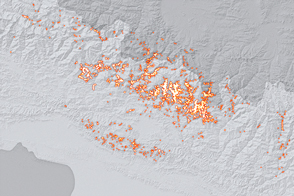
Taking Stock of Landslides after the Gorkha Earthquake Read more
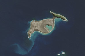
Connecting Islands in the Pacific Read more
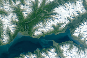
Humboldt Glacier’s Demise Read more
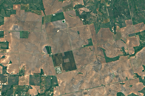
Texas: An Energy Powerhouse Read more
Using Satellites to Study Svalbard’s Growing Season Read more
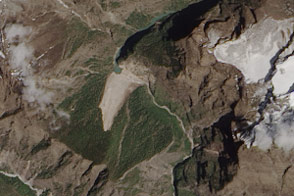
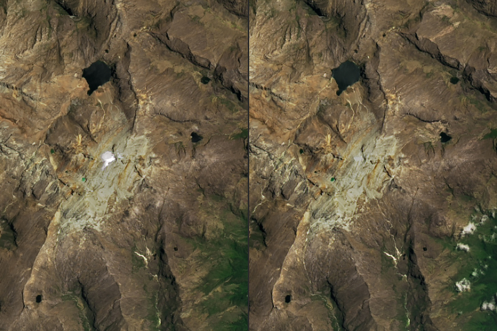
Landslide Dams the Tom Khola Read more
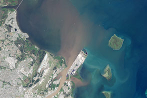
Plume in Moreton Bay, Australia Read more
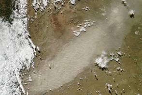
Calbuco Ash on the Move Read more
Memorial Day at Saratoga Read more