The Landsat satellite record stretches from 1972 to the present. This gallery includes all Landsat images published on the Earth Observatory, Visible Earth, and Landsat Science web sites from all seven Landsat satellites (Landsats 1-8, Landsat 6 failed to achieve orbit). All of the images are in the public domain and may be used with attribution. The correct attribution for imagery obtained from this site is:
“Landsat imagery courtesy of NASA Goddard Space Flight Center and U.S. Geological Survey” or “USGS/NASA Landsat”
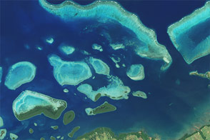
Exploring Reefs from Space Read more
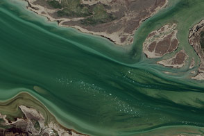
Great Slave Lake: Where the Mackenzie River Begins Read more
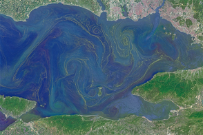
Blooms in the Sea of Marmara Read more
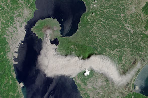
Plume from Sakura-jima Read more
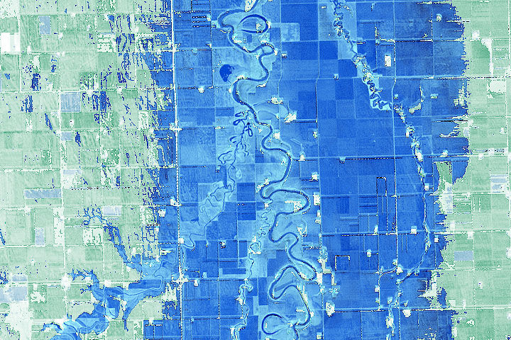
Another Flood on the Red River Read more
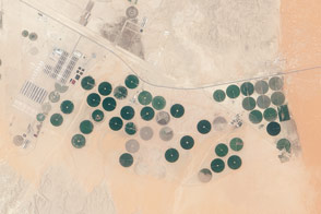
Todhia Arable Farm in Saudi Arabia Read more
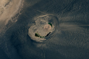
Desert Contrast Read more
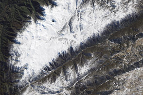
Snowfall in Australia’s Snowy Mountains Read more
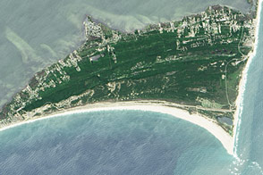
Cape Hatteras National Seashore Read more