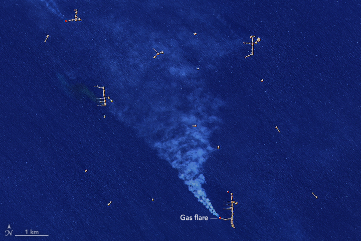
acquired January 20, 2017
Gas Flares in the Gulf
Downloads
- gasflares_oli_2017020_lrg.jpg (2535x2535, JPEG)
Metadata
- Sensor(s):
- Landsat 8 - OLI
- Data Date: January 20, 2017
- Visualization Date: January 27, 2017
This image of oil rigs and gas flaring in the Gulf of Mexico was captured by the Operational Land Image (OLI) on Landsat 8 on January 20, 2017. The rigs are gathering oil and natural gas from beneath the seafloor of the Bahía de Campeche, which is located along the southern margin of the Gulf of Mexico, just west of the Yucatán Peninsula.
Further Reading
- NASA Earth Observatory (2012, September 14) Gas Flares in Bahía de Campeche.
NASA Earth Observatory image by Joshua Stevens, using Landsat data from the U.S. Geological Survey. Caption by Adam Voiland.
This image record originally appeared on the Earth Observatory. Click here to view the full, original record.