The Landsat satellite record stretches from 1972 to the present. This gallery includes all Landsat images published on the Earth Observatory, Visible Earth, and Landsat Science web sites from all seven Landsat satellites (Landsats 1-8, Landsat 6 failed to achieve orbit). All of the images are in the public domain and may be used with attribution. The correct attribution for imagery obtained from this site is:
“Landsat imagery courtesy of NASA Goddard Space Flight Center and U.S. Geological Survey” or “USGS/NASA Landsat”
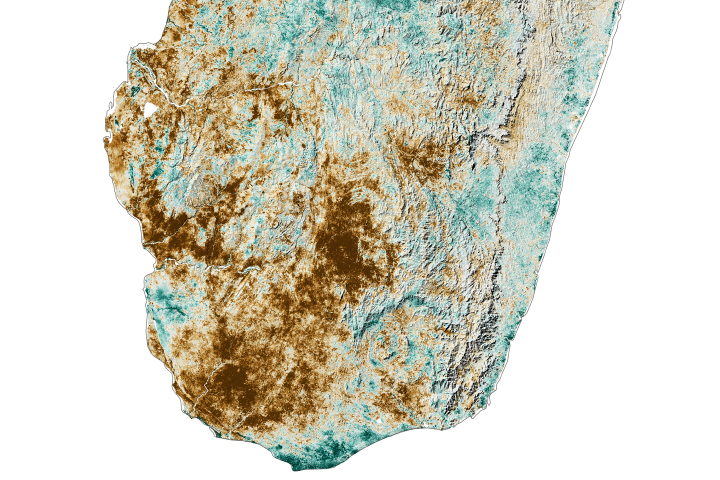
Another Lean Season in the Grand Sud Read more
Looking Up and Out from Sunspot Read more
Fire Encroaching on Giant Sequoias Read more
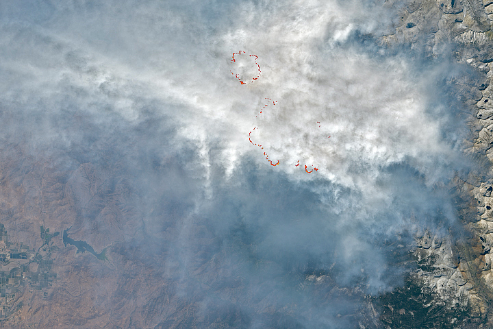
What’s Behind California’s Surge of Large Fires? Read more
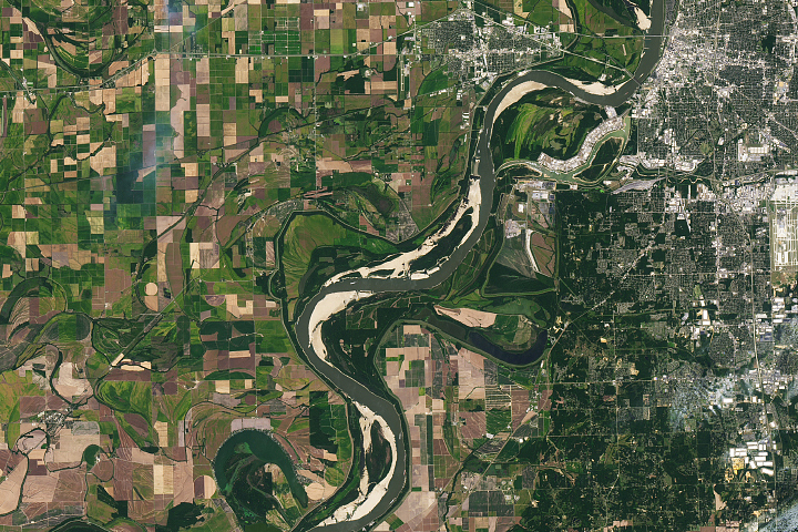
The Mississippi is Mighty Parched Read more
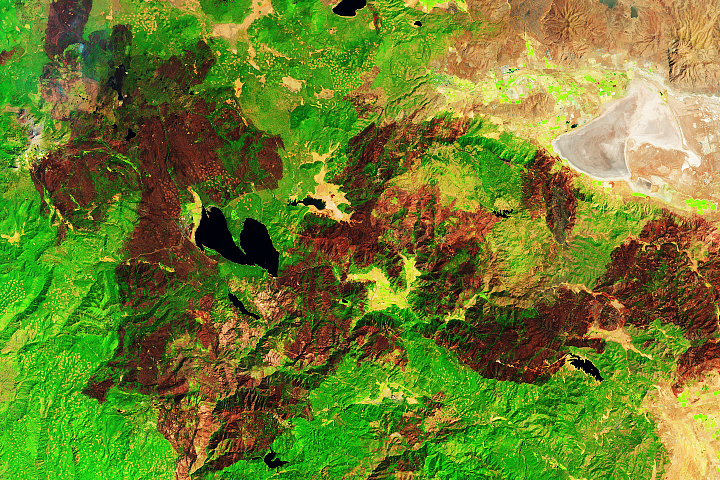
Grazing with Iceland’s Reindeer Read more
Truly Giant Cuttlefish in False Bay Read more
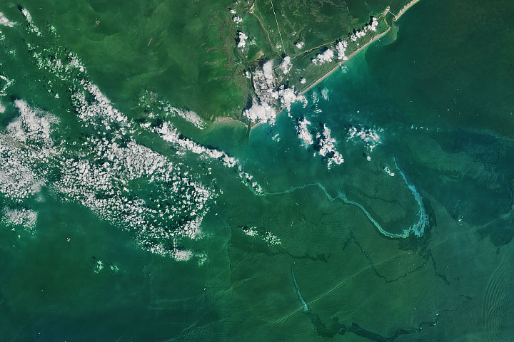
Hurricane Ida Leaves a Trail of Oil Read more
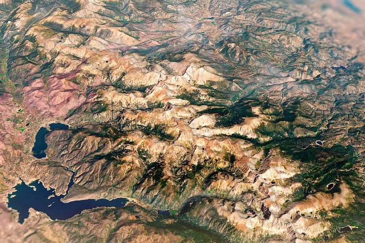
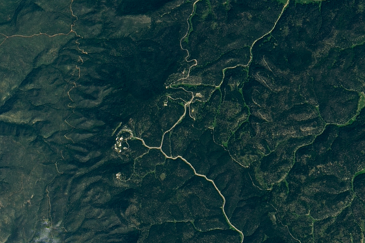
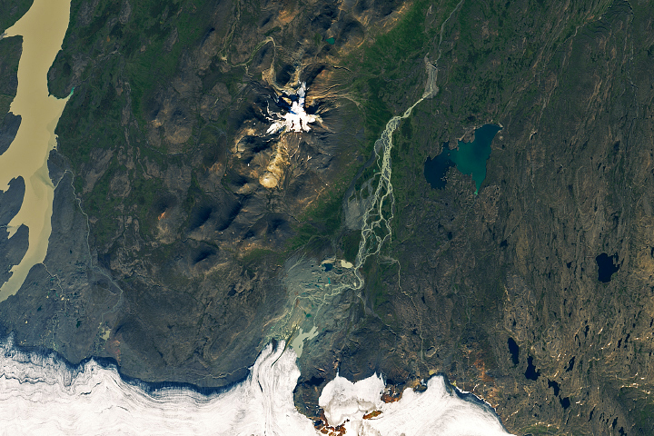
A River Routed Under the Mountains Read more