The Landsat satellite record stretches from 1972 to the present. This gallery includes all Landsat images published on the Earth Observatory, Visible Earth, and Landsat Science web sites from all seven Landsat satellites (Landsats 1-8, Landsat 6 failed to achieve orbit). All of the images are in the public domain and may be used with attribution. The correct attribution for imagery obtained from this site is:
“Landsat imagery courtesy of NASA Goddard Space Flight Center and U.S. Geological Survey” or “USGS/NASA Landsat”
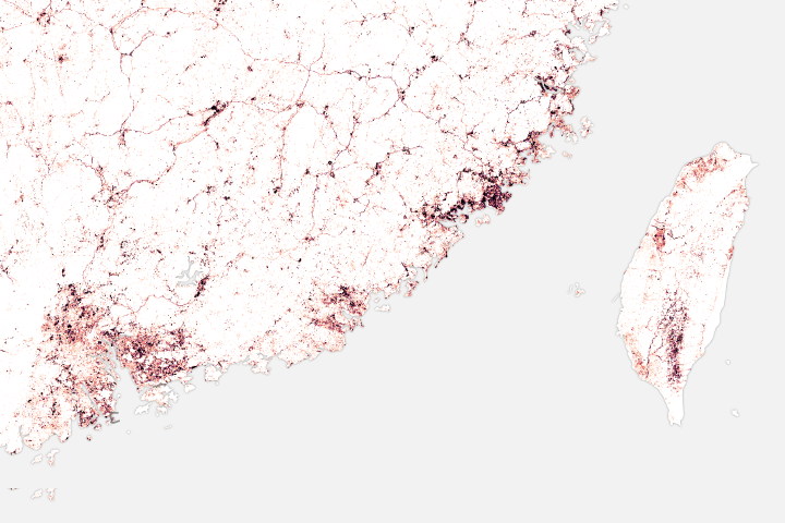
The Global Spread of Bare Ground Read more
Tassel n’Ajjer National Park Read more

When a Definition Makes a Forest Disappear Read more
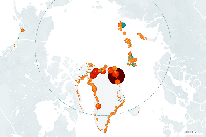
Northern Glaciers are Retreating from the Water Read more
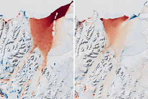
Last Call for Larsen B Read more

Halloween on the Hudson Read more

Mapping Forest Loss with Landsat Read more
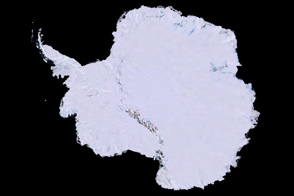
Landsat Image Mosaic of Antarctica Read more
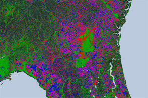
New Map Yields Better View of Forest Changes Read more