The Landsat satellite record stretches from 1972 to the present. This gallery includes all Landsat images published on the Earth Observatory, Visible Earth, and Landsat Science web sites from all seven Landsat satellites (Landsats 1-8, Landsat 6 failed to achieve orbit). All of the images are in the public domain and may be used with attribution. The correct attribution for imagery obtained from this site is:
“Landsat imagery courtesy of NASA Goddard Space Flight Center and U.S. Geological Survey” or “USGS/NASA Landsat”
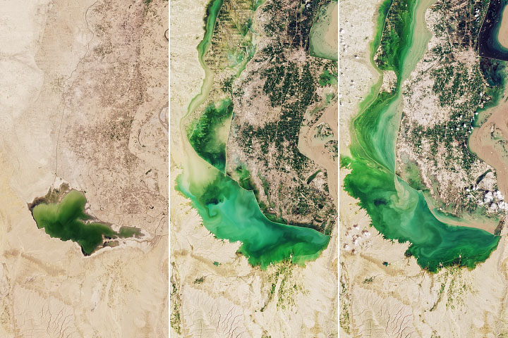
Lake Manchar is Overflowing Read more
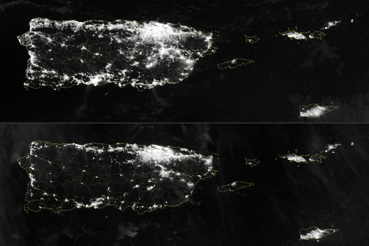
Power Outages in Puerto Rico Read more
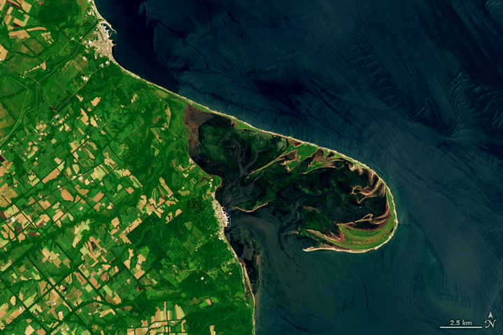
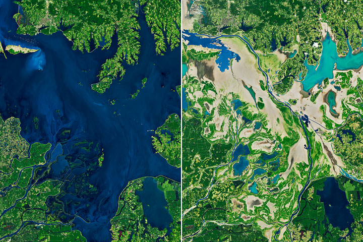
A Sandy Haven in Japan Read more
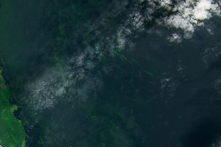
Blooming Lake Okeechobee Read more
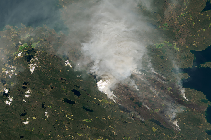
Heat and Fires Scorch Northern Canada Read more
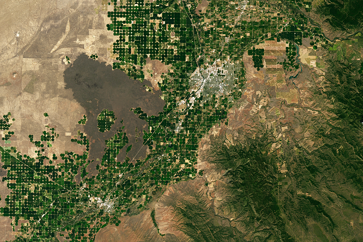
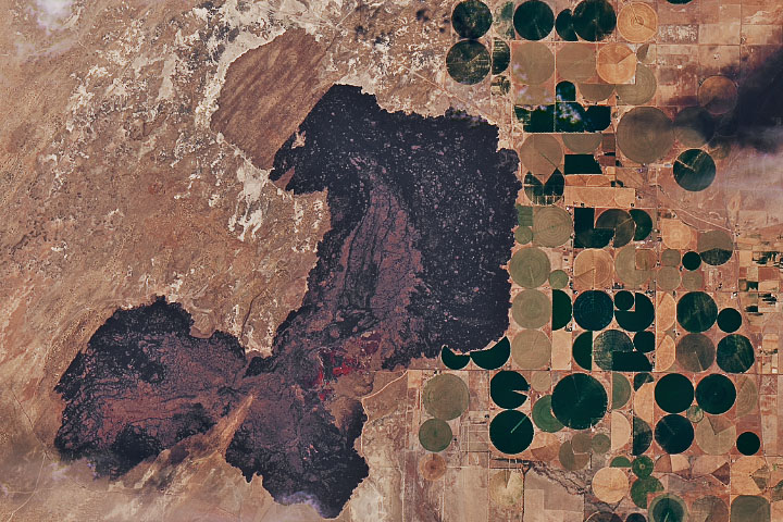
Parched Poyang Lake Read more
Idaho’s Potato Belt Read more
Ice Springs Lava Flow Read more
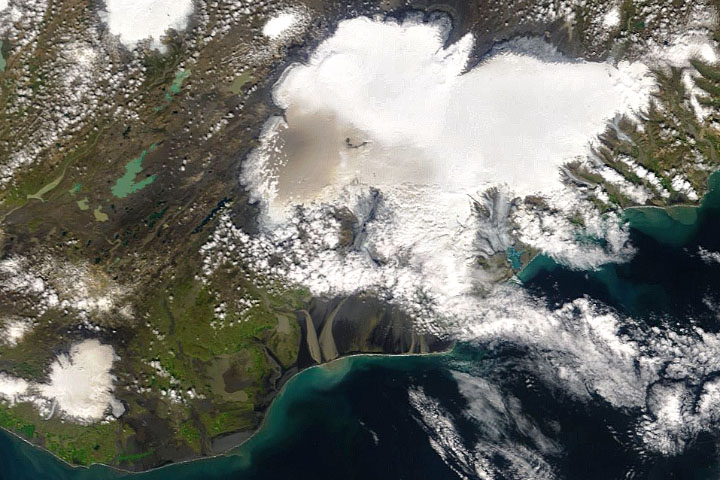
Dusty Glaciers in Iceland Read more