The Landsat satellite record stretches from 1972 to the present. This gallery includes all Landsat images published on the Earth Observatory, Visible Earth, and Landsat Science web sites from all seven Landsat satellites (Landsats 1-8, Landsat 6 failed to achieve orbit). All of the images are in the public domain and may be used with attribution. The correct attribution for imagery obtained from this site is:
“Landsat imagery courtesy of NASA Goddard Space Flight Center and U.S. Geological Survey” or “USGS/NASA Landsat”
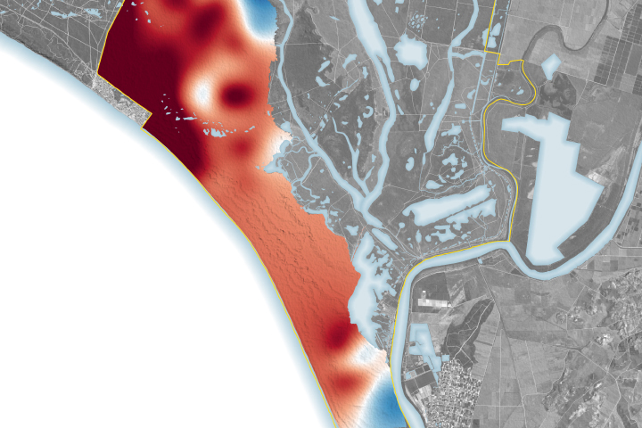
Water Woes in Doñana National Park Read more

Green Space is Good for Mental Health Read more
Greenland’s Biggest Losers Read more
Changing Forest Cover Since the Soviet Era Read more
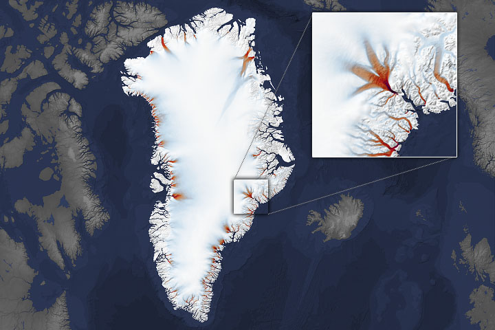
Shrinking Margins of Greenland Read more
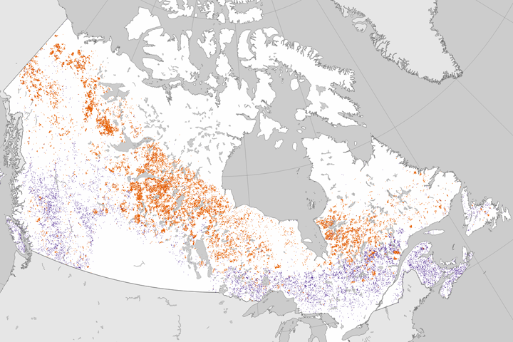
Tracking Forest Change in Canada Read more
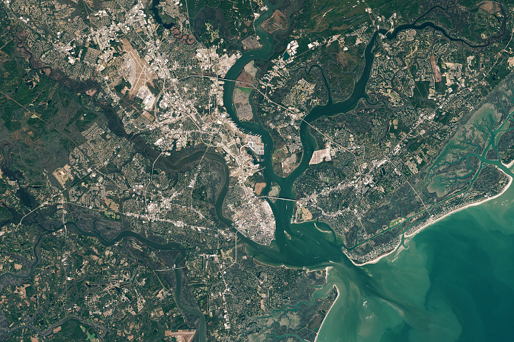
Rising Seas in Charleston Read more
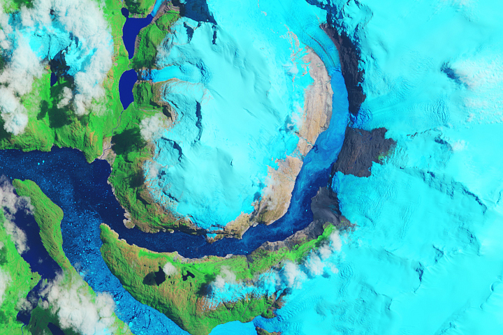
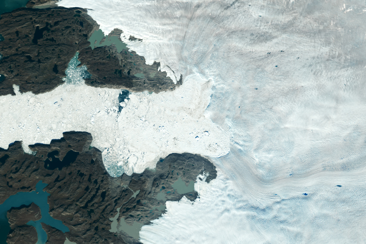
Is HPS-12 the Fastest Thinning Glacier? Read more
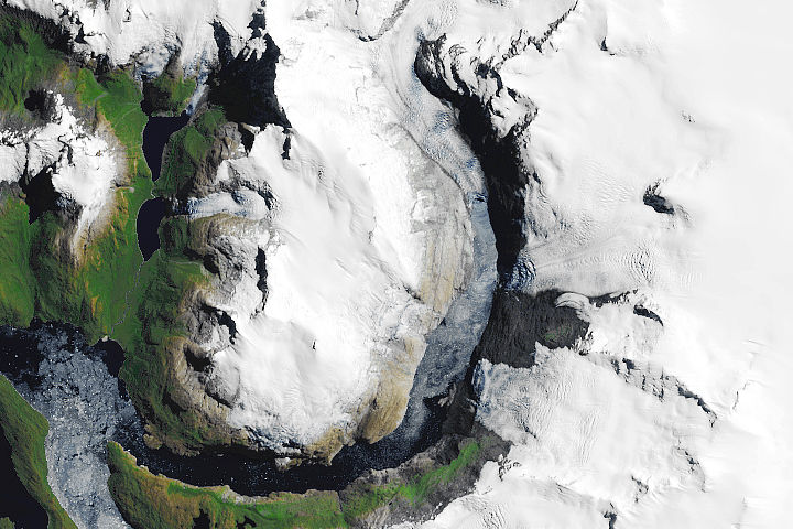
Glacial Retreat at a Non-glacial Pace Read more