The Landsat satellite record stretches from 1972 to the present. This gallery includes all Landsat images published on the Earth Observatory, Visible Earth, and Landsat Science web sites from all seven Landsat satellites (Landsats 1-8, Landsat 6 failed to achieve orbit). All of the images are in the public domain and may be used with attribution. The correct attribution for imagery obtained from this site is:
“Landsat imagery courtesy of NASA Goddard Space Flight Center and U.S. Geological Survey” or “USGS/NASA Landsat”
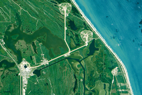
The Waters are Rising on NASA’s Shores Read more
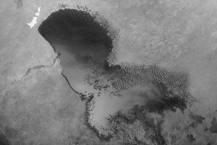
The Ups and Downs of Lake Chad Read more

Orlando, Florida: Four Decades of Development Read more
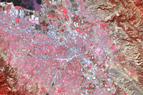
A Clearer View of Silicon Valley Read more

First of Three Million Read more
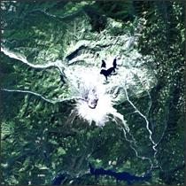
Mt. St. Helens, Washington Read more
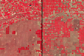
Growth of Central Pivot Irrigation, Kansas Read more
U.S. Space Shuttle Program Begins Read more
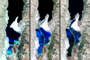
The Dead Sea Read more